
Elk, pronghorn, and deer have followed the same migration routes across the West for centuries, but today, fences cut across their path. Through wildlife-friendly fencing projects in Utah, Colorado, and New Mexico, we’re clearing the way.
As fall sets in and the temperature begins to drop, animals are on the move. They know that colder weather means rain will soon turn to snow. Across the West from Montana and Idaho to Utah and New Mexico, migratory species like elk, deer, and pronghorn begin their journey, leaving their high-elevation summer ranges for lower elevations where they’ll spend the winter away from deep snows, where they can more easily access food and shelter.
These animals have been making the same journey year after year for centuries, if not millennia, and often demonstrate a high fidelity to a specific route or pathway. This tendency to stick to a well-defined corridor can make them vulnerable to human infrastructure that disrupts that route. Roads, residential development, and energy infrastructure – both renewable and fossil fuels – can present disruptive barriers, but one of the most common that western wildlife must navigate is fences.
The West is literally covered in fencing. Although it’s difficult to say for sure, our best guess is that there are more than 600,000 miles of fencing in the American West – enough to wrap around the earth nearly 25 times. Intended to help retain or exclude livestock, these fences can have similar effects on wildlife, making it more difficult for migratory species to complete daily and seasonal movements. But across the region, land and wildlife managers, tribes, private landowners, and non-profits are working together to reduce these barriers.
“The West is literally covered in fencing. Although it’s difficult to say for sure, our best guess is that there are more than 600,000 miles of fencing in the American West – enough to wrap around the earth nearly 25 times.”
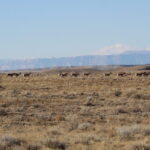
A pronghorn herd moves across its range in Utah. The ability to safely move to access seasonal resources is crucial for wildlife across the West.
Utah: Wildlife-Friendly Fencing on the Paunsaugunt Migration Corridor
In 2023, Wildlands Network initiated its first wildlife-friendly fencing project in the Grand Staircase-Escalante National Monument, where Utah’s Paunsaugunt mule deer herd migrates to avoid the deep snows of its high-elevation summer range and spend the winter amidst red rocks, sage, pinyon, and juniper.
Assisted by over 50 volunteers, we inventoried over 150 miles of fence with a survey tool developed by Utah Division of Wildlife Resources (UDWR). We were the first to use it in the field, so in addition to collecting valuable data about the area’s fencing, we were able to test the app and its functionality. The feedback we shared with UDWR on this tool continues to have an impact on wildlife. Partners continue to use the survey to inventory fences across the state.
Based on that data, we identified 12 miles of fence that did not meet wildlife-friendly specifications to be modified the following year, chosen because they were immediately adjacent to two wildlife underpasses that the Utah Department of Transportation had built under US-89 to assist migrating deer. We wanted to make sure that as animals approached these crossings, they didn’t encounter any additional barriers.
With support from partners like Backcountry Hunters and Anglers, Mule Deer Foundation and the National Fish and Wildlife Foundation, we hosted a volunteer weekend in 2025 where we removed the bottom wire across 11 miles of fence so that our contractor could replace it with smooth wire, adjust the other wires to the proper heights, and tighten the wires to reduce the risk of entanglements. That fall, our contractor completed the work, and this past year, we retrofitted another 7 miles, and plan to do another 7 miles in 2027.
As our work in the Paunsaugunt has demonstrated, conducting the surveys is often the hardest part. While land managers typically have maps of their allotment and pasture boundaries, they don’t necessarily know which of those boundaries have fences, the type of fence, the condition of fence, or if there are other fences outside of those grazing boundaries. This is where our data helps fill in the gaps.
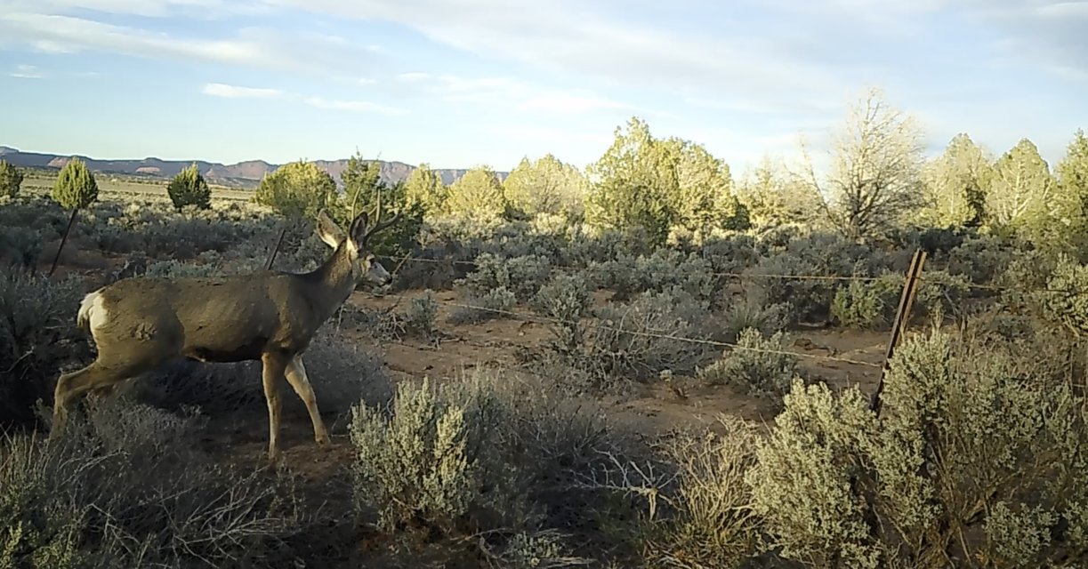
A mule deer prepares to attempt to jump across an unmodified fence, which can result in injury or worse.
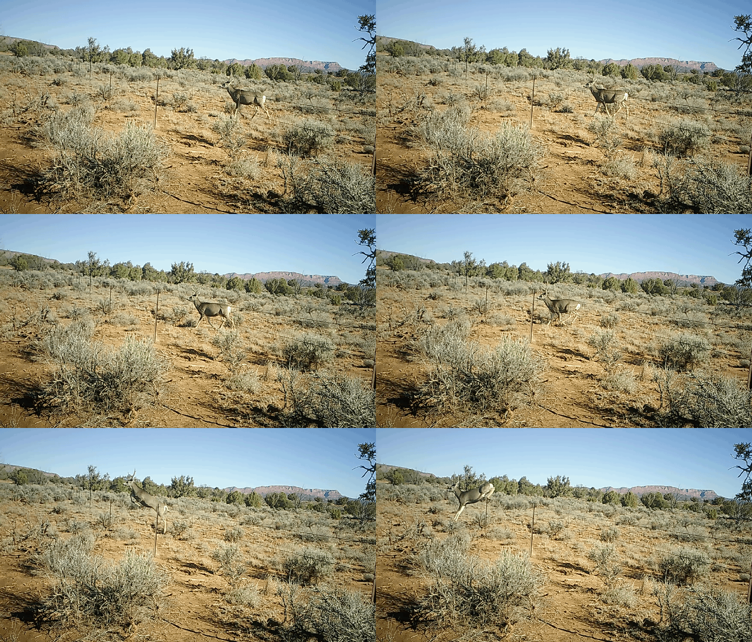
After fencing is modified, wildlife can easily and safely cross under, or over.
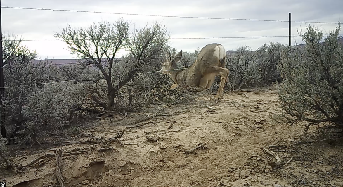
A mule deer easily slides under fencing that has been modified.
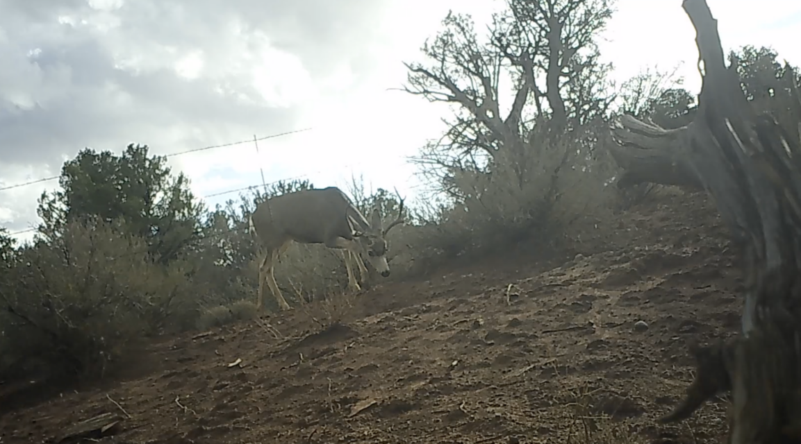
Another image captured by our camera traps after modification.
Colorado: Surveying Fencing Barriers to Elk and Deer Migration
On the west side of Colorado’s San Luis Valley where the eastern San Juan Mountains meet the valley floor, elk and deer migrate to the banks of the upper Rio Grande each winter for access to water and to escape the deep snows of the Rocky Mountains. Traversing a matrix of forest through BLM-managed public and private lands, these animals must navigate hundreds of miles of fence to reach resources they depend on to make it through Colorado’s hard winters.
This year, in partnership with Volunteers for Outdoor Colorado and Rio Grande Headwaters Land Trust, we surveyed 500 miles of fence. But for this project, we developed our own survey form that takes the best aspects of the various forms we’ve used in Utah and elsewhere, simplified the user experience, which is especially important for working with volunteers, and developed backend processes that automate the data analysis so that we can know the same day a fence is surveyed whether it should be a priority for future treatment.
With the surveys now complete, and the fences to be modified next year identified, the next step is putting out cameras for the winter migration season so that we can capture pre-treatment data. This will allow us to measure how the improved fences benefit animal behavior next year.
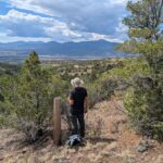
Miles of fence stretch across the San Luis Valley in Colorado. The rugged terrain means surveying them on foot can be challenging but rewarding work.
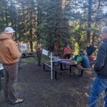
Volunteers are briefed on safety protocols at a survey event in the San Luis Valley.
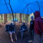
Volunteers come prepared, as surveys happen in a variety of weather.
New Mexico: Pinpointing the Biggest Barriers to Elk and Pronghorn Routes
Farther south in the upper Rio Grande watershed, we’ve been deeply engaged in protecting habitat connectivity in the Greater Cruces Basin where elk, deer and pronghorn spend their summers as well as the Taos Plateau where these animals migrate to in winter. For the past four years, we’ve been studying marten and other montane mammals, closing illegal roads, facilitating watershed restoration projects, and now we’re adding wildlife-friendly fences to our toolbox of strategies for enhancing the region’s ecological value.
Using funding from Secretarial Order 3362, the New Mexico Department of Wildlife collected GPS collar data on elk and pronghorn. Using that data combined with pasture and allotment boundary maps, they worked with New Mexico State University to conduct a barrier behavior analysis to identify which potential fence lines were the biggest barriers to these migrating animals. That analysis identified 28 miles of fence that were the least permeable, and with that data in hand, Wildlands Network surveyed those fences to determine what type of fence they were – barbed wire vs. woven mesh, the condition, and other factors that help inform the logistics of modification.
We’re now working with the Carson National Forest and the New Mexico Department of Wildlife to put that information to work, and begin modifications and removals next year to maintain and improve this critical migration corridor.
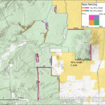
A map of the Taos Fence Surveys from 2026.
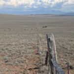
The Taos Plateau is another location where wildlife would have to travel miles out of their way to circumnavigate fences.
Scaling Wildlife Connectivity Across the West
With three projects across three states underway, Wildlands Network is poised to make a significant contribution to improve habitat connectivity in landscapes critical to migrating wildlife. But beyond the projects themselves, we’re taking a systems-level approach to implementing this work, investing considerable time and energy in the technological infrastructure, front and back-end processes, relationships, and strategies that will allow us to scale up this work across the Western Wildway.
Our focus goes beyond fences. This is just one barrier that wildlife encounter during their annual migrations. Water availability, incursions from illegal roads, and habitat quality all contribute to how connected or fragmented a landscape may be for an individual or suite of species, and across the West, Wildlands Network is looking at these landscapes comprehensively and ensuring our work accounts for a multitude of factors.
But in the meantime, you’ll be able to find us along some fence line with our worn-down measuring sticks, bolt cutters, or hand-rolled wire in hand, reconnecting landscapes for the wildlife we care about most.

Michael Dax | Western Program Director, Wildlands Network
Related Posts
 Myles Traphagen
 Ron Sutherland
