A Photo Journey through the Northern Sierra Nevada and Cascade Range
A few weeks ago Wildlands Network's California Program Manager Mari Galloway and Chief Scientist Dr. Ron Sutherland visited wildlife-vehicle collision hotspots, existing wildlife crossing structures, and study sites in sections of the Pacific Wildway. Join us for a photo journey through their field trip across Northern California and Southern Oregon, narrated by Mari.
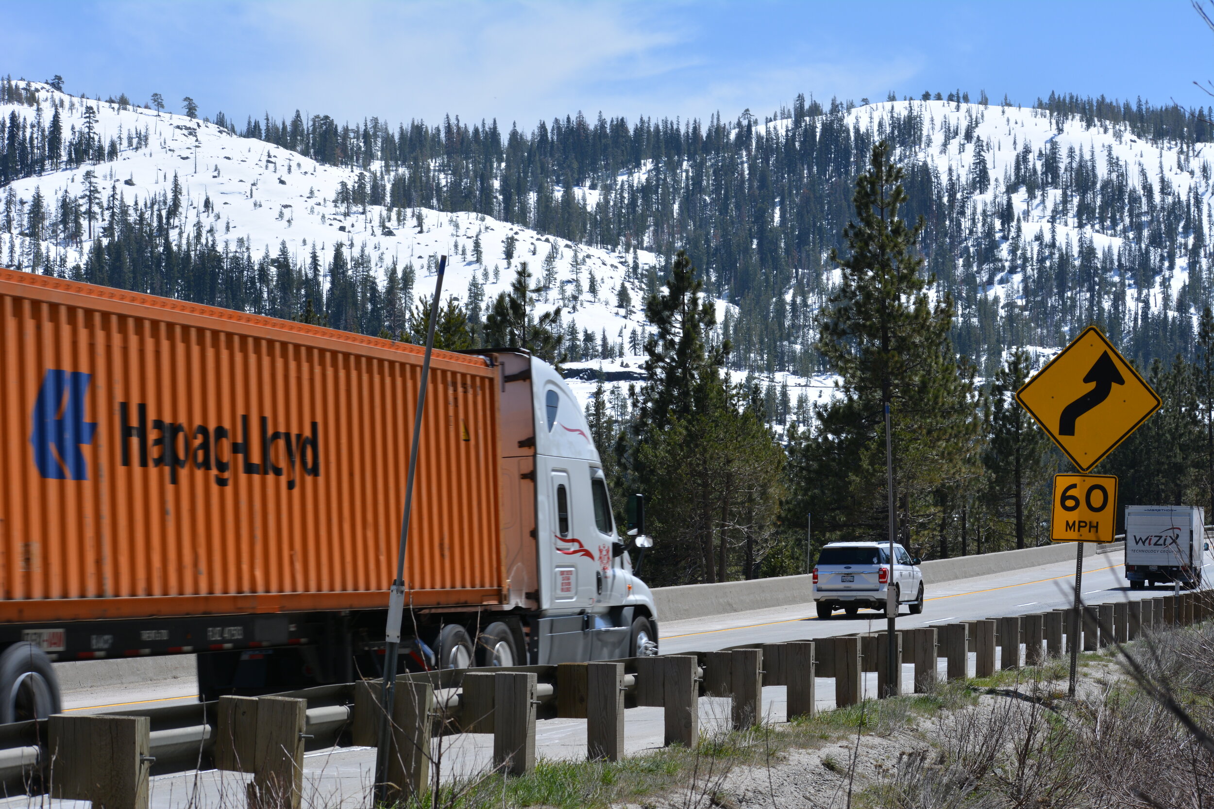
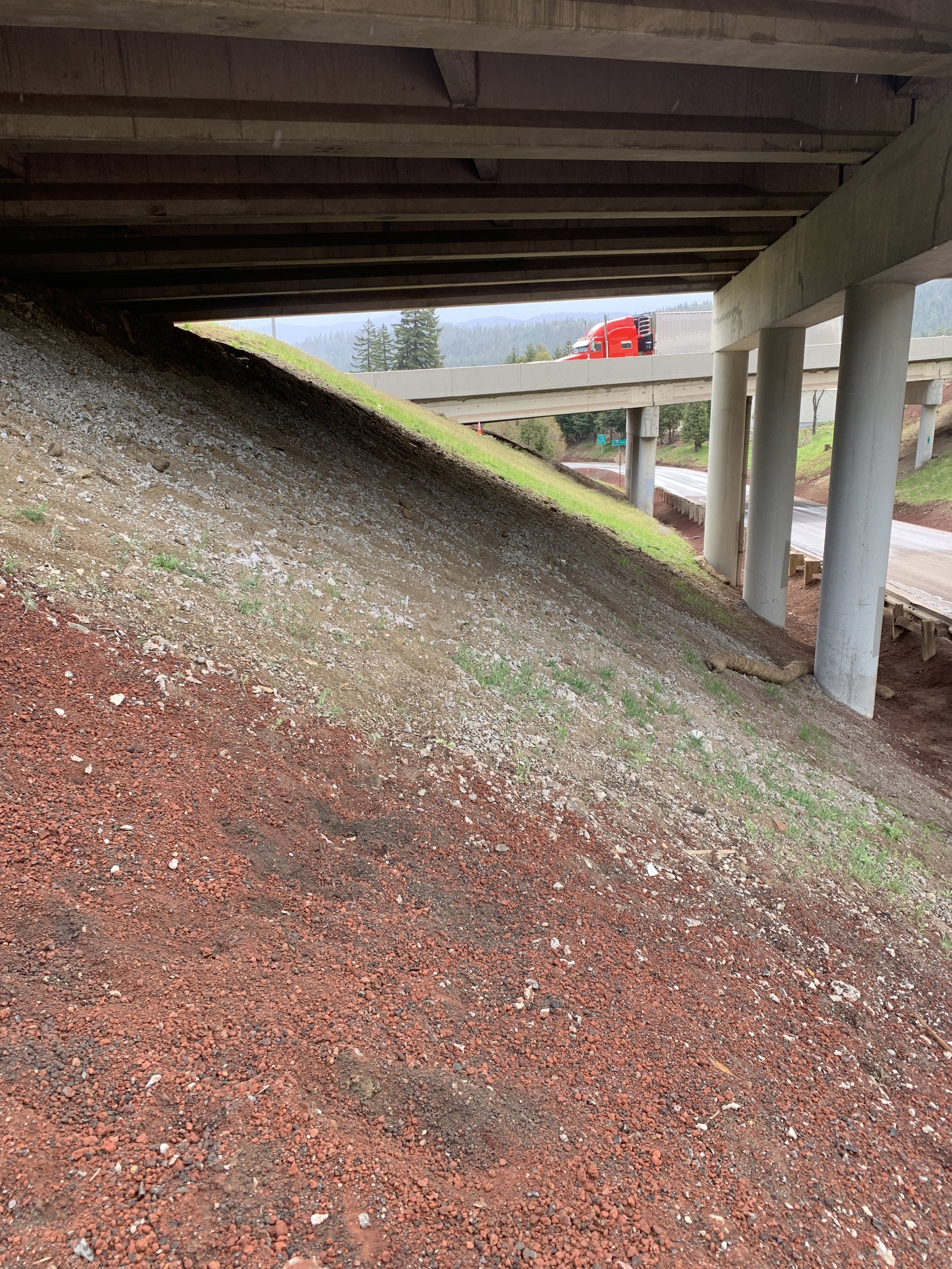
Interstate 80 in California
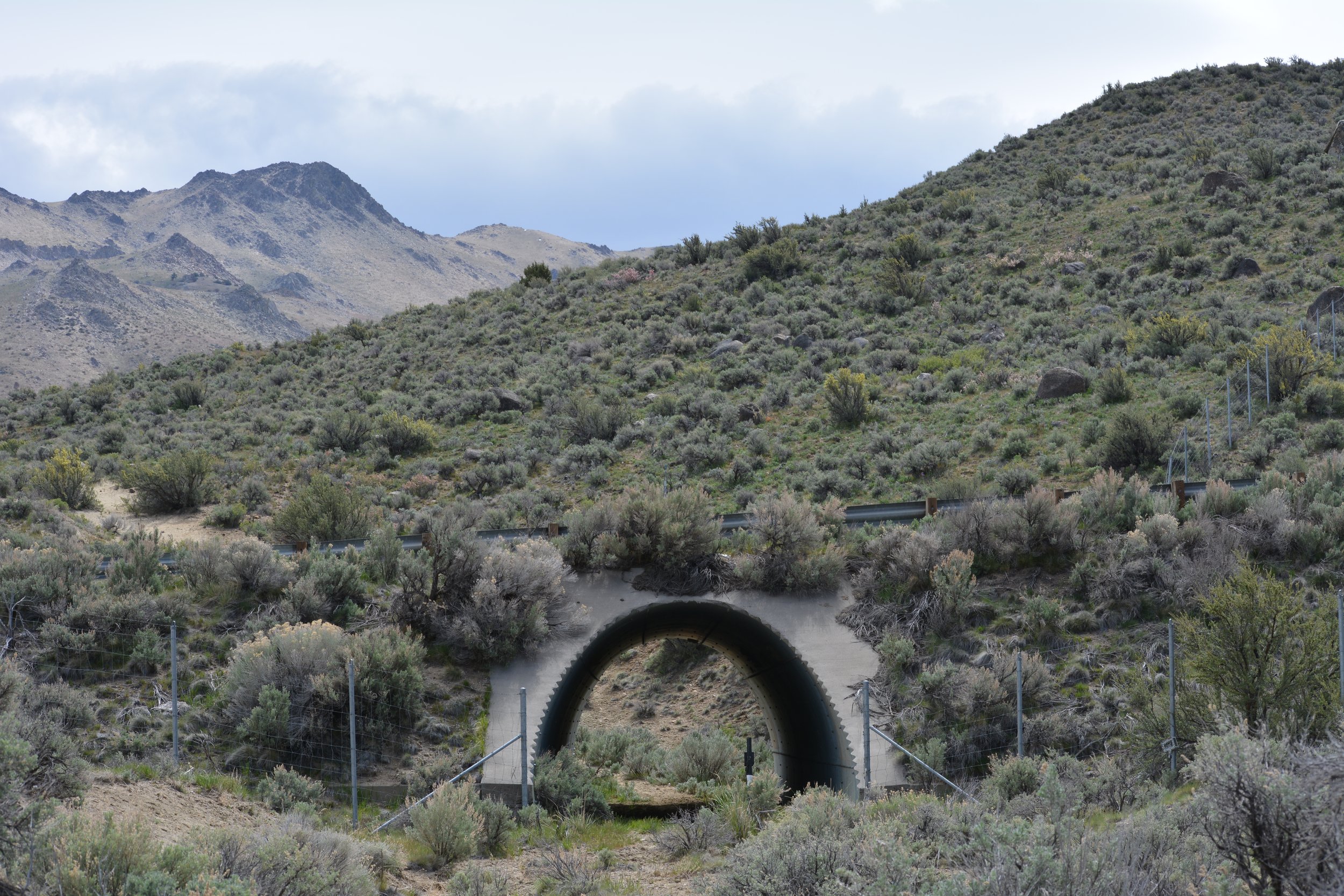
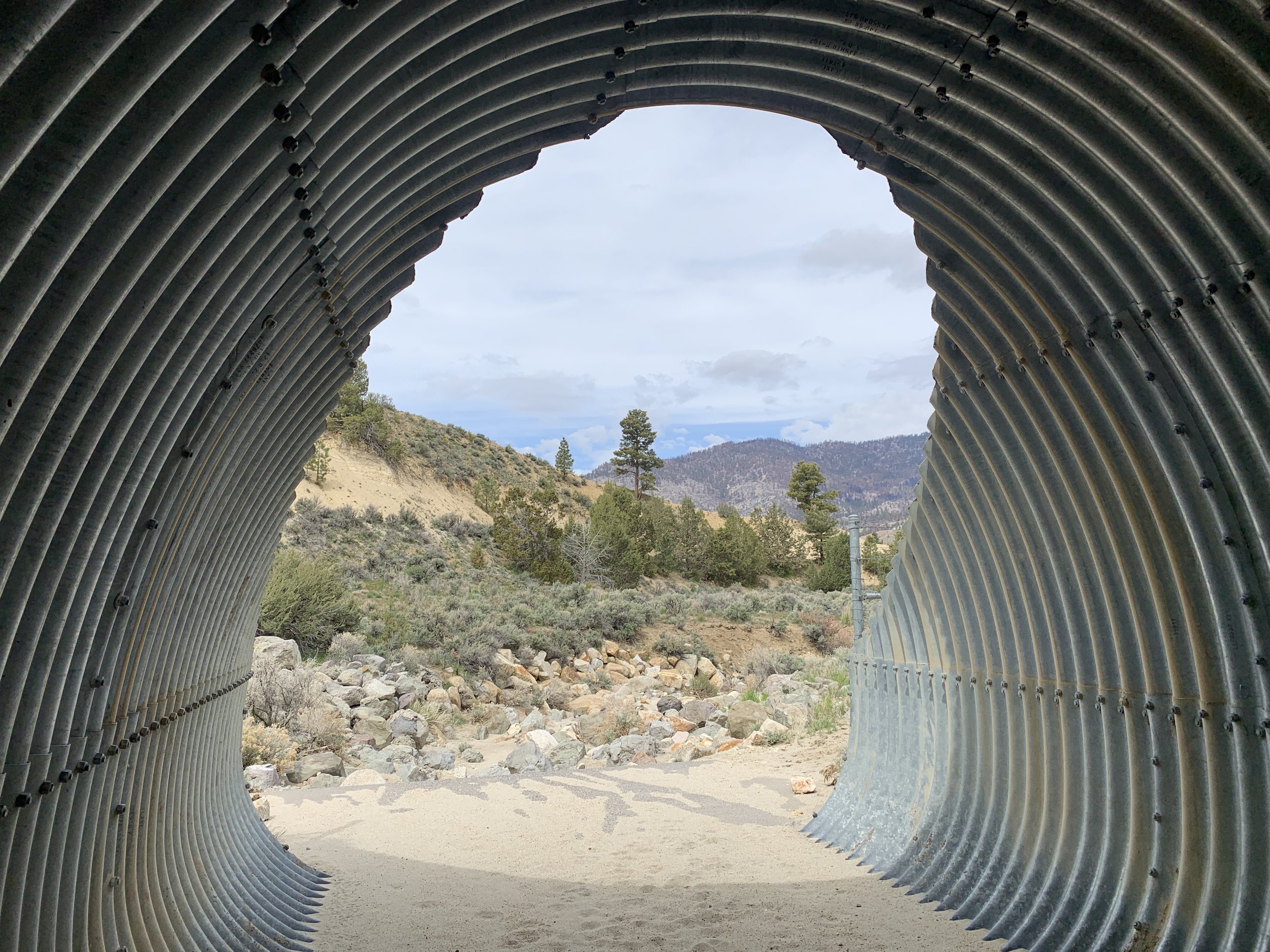
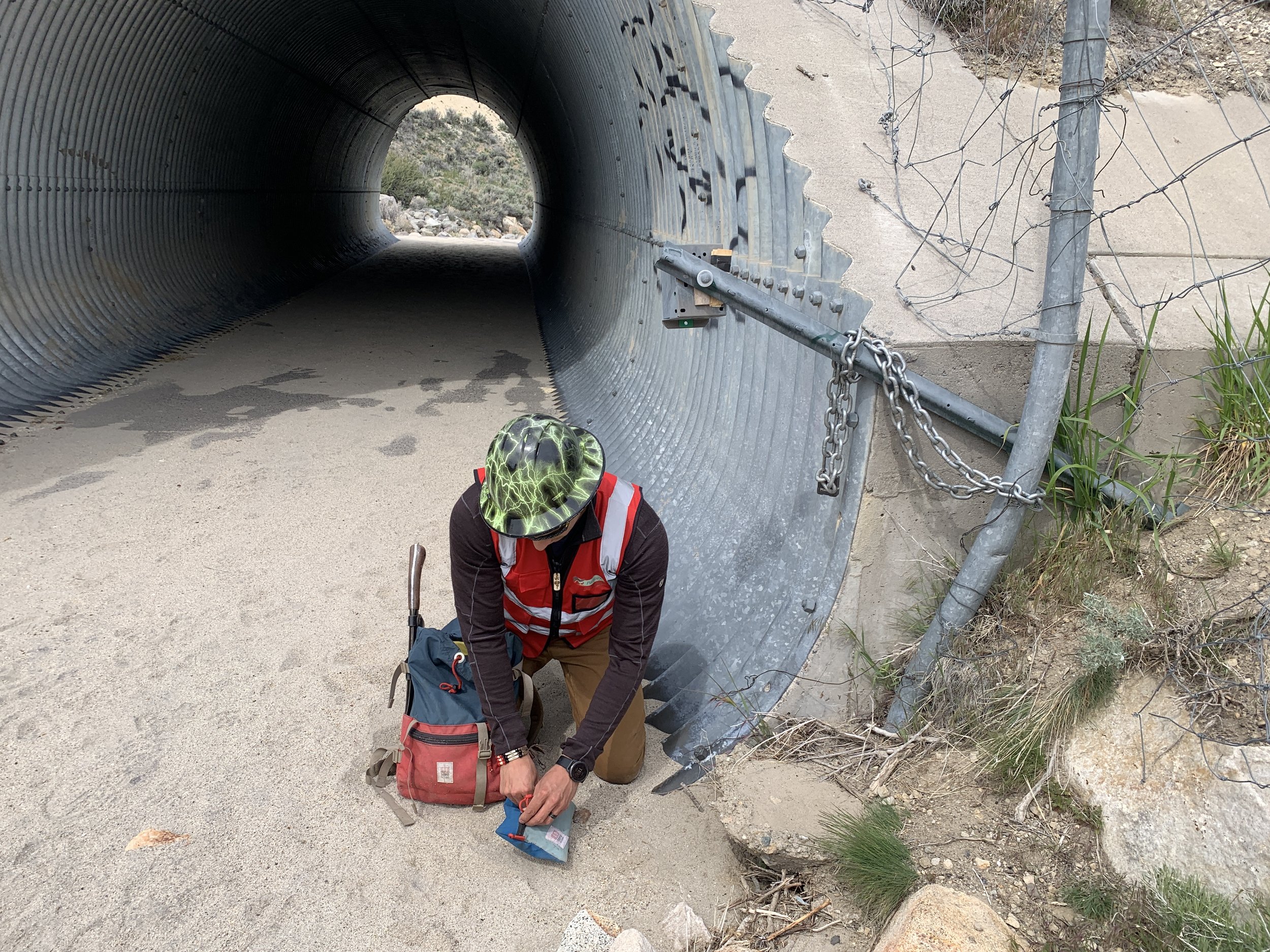
On the first day of our trip, I picked up Ron from the Sacramento airport and drove to Truckee, California to meet our partners Tanya Diamond and Ahiga Snyder with Pathways for Wildlife. Together, we looked at sections of I-80 that have been identified as "priority barriers to wildlife movement" by both Caltrans and the California Department of Fish and Wildlife. Our goal was to find existing bridges and culverts that could be modified to enhance wildlife connectivity across the interstate.
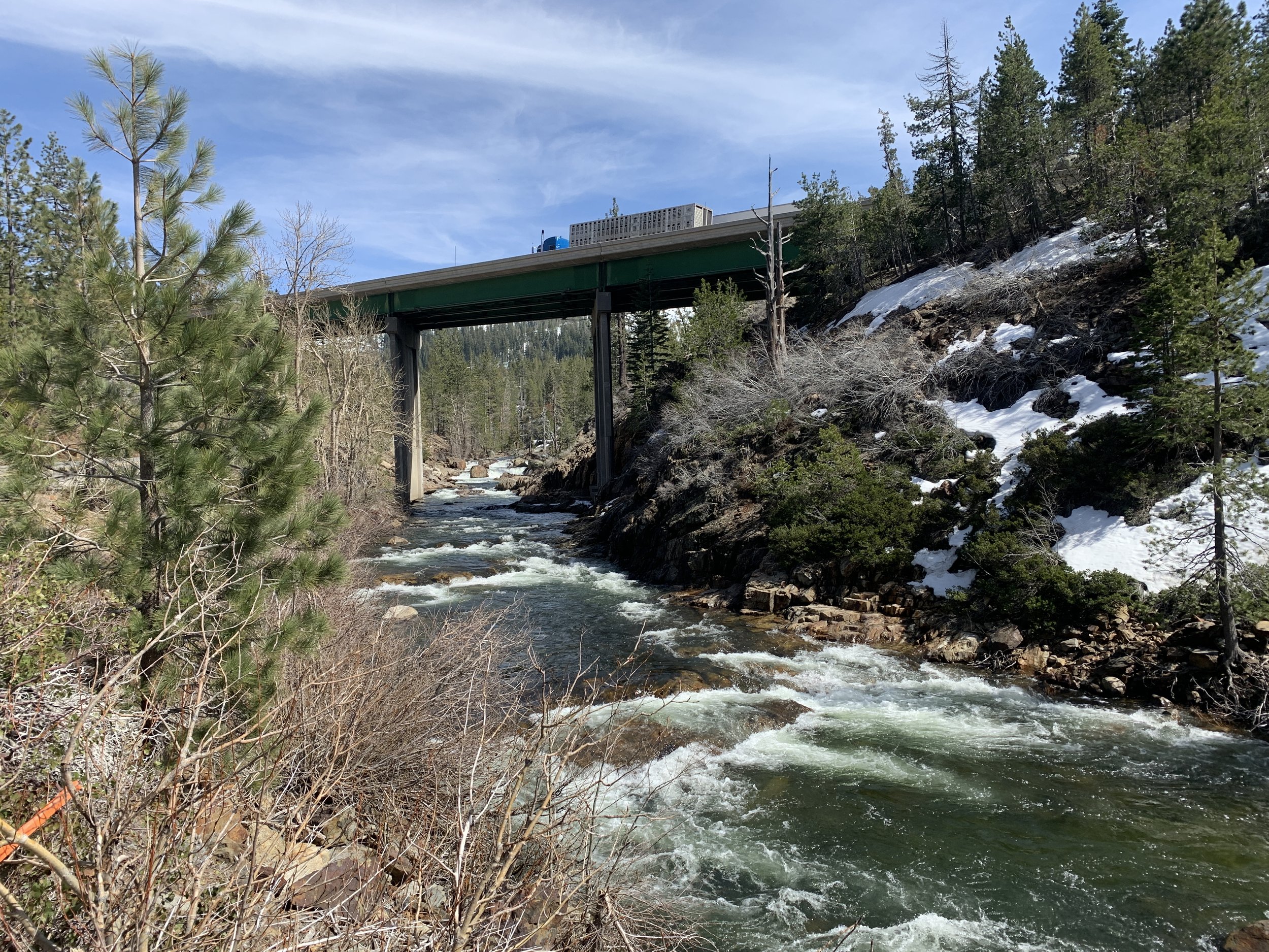
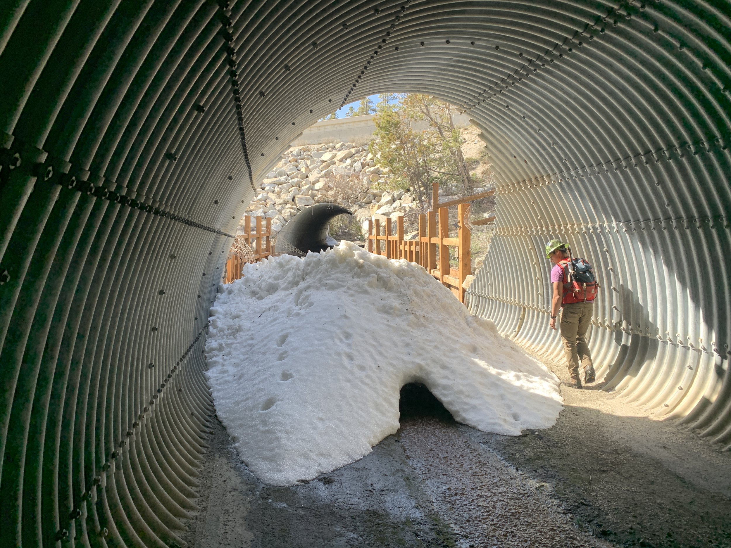
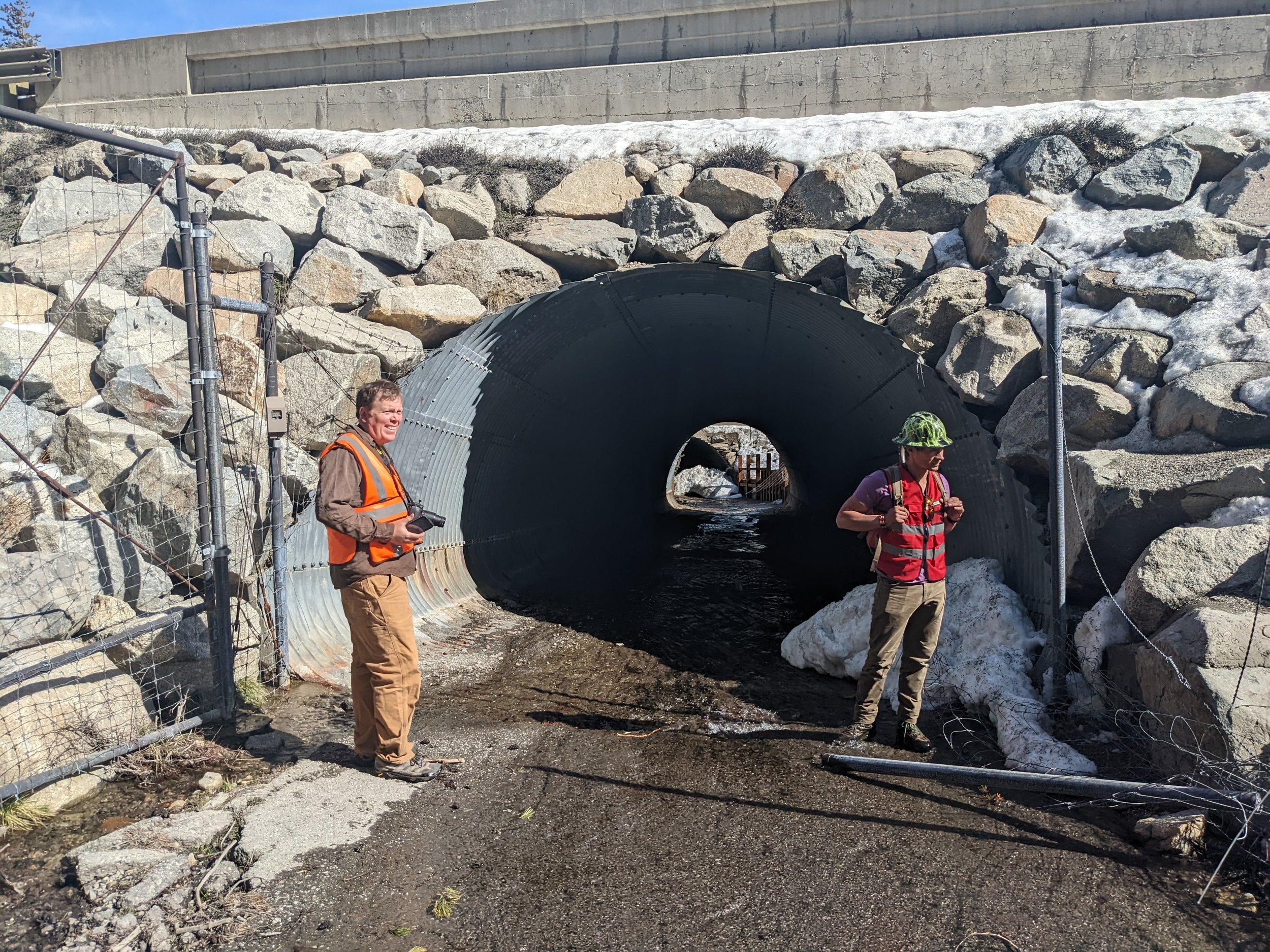
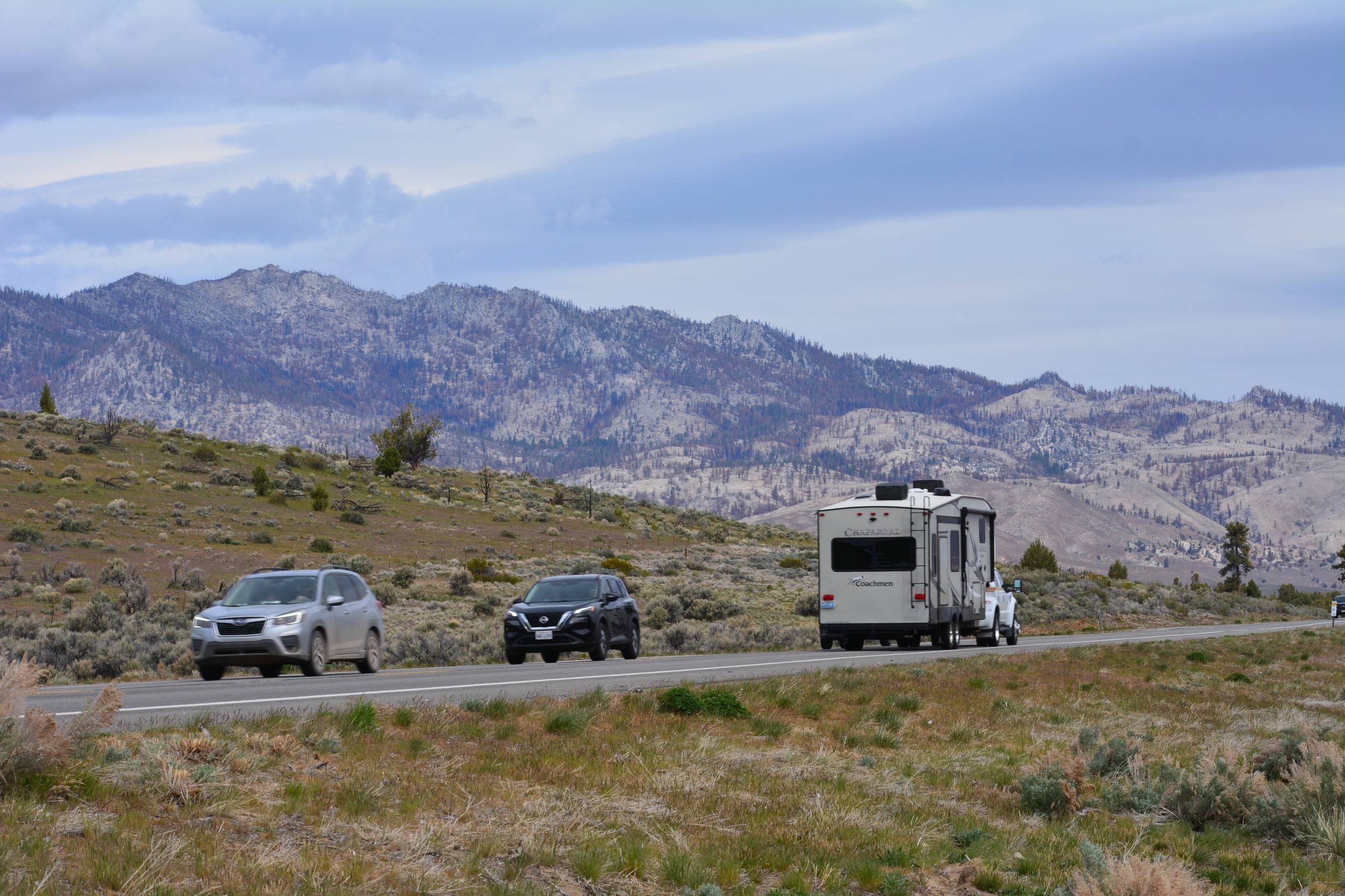
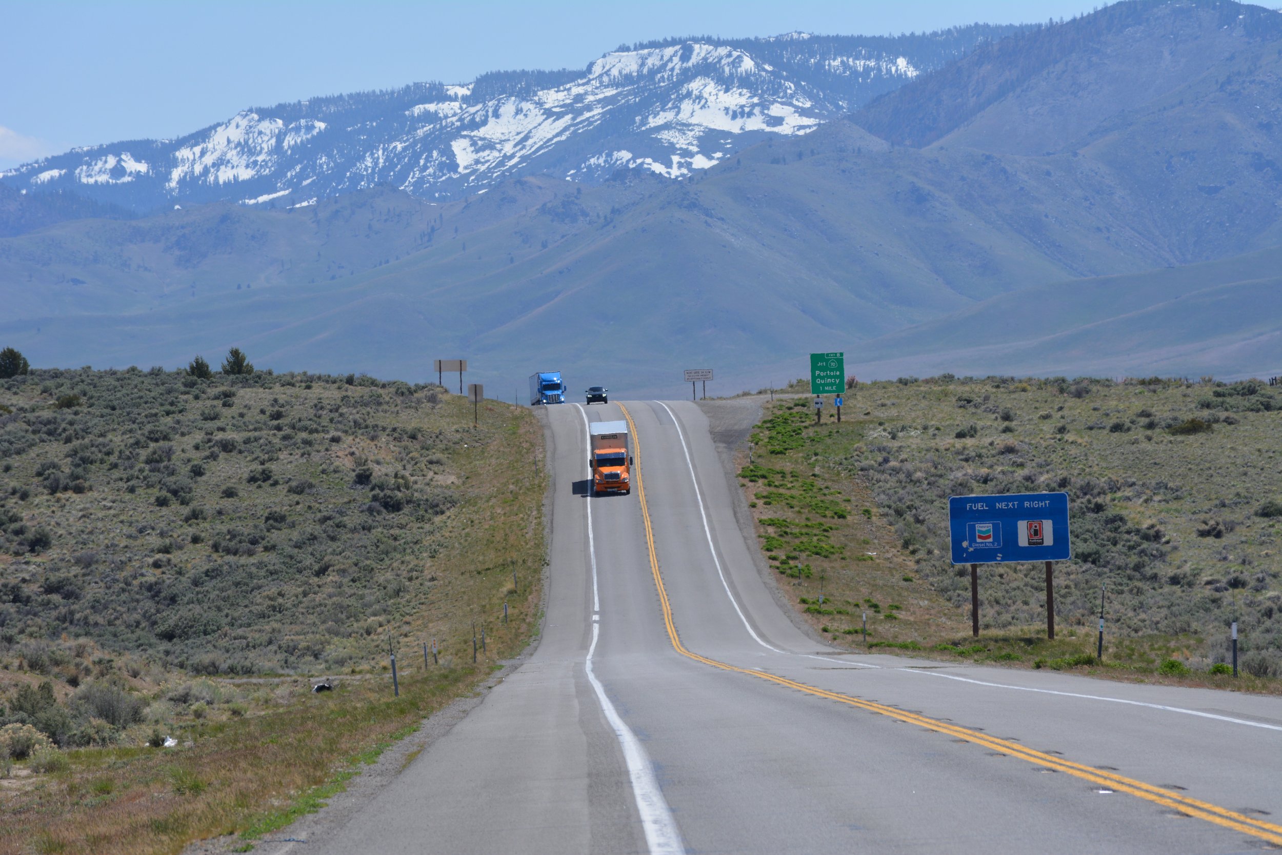
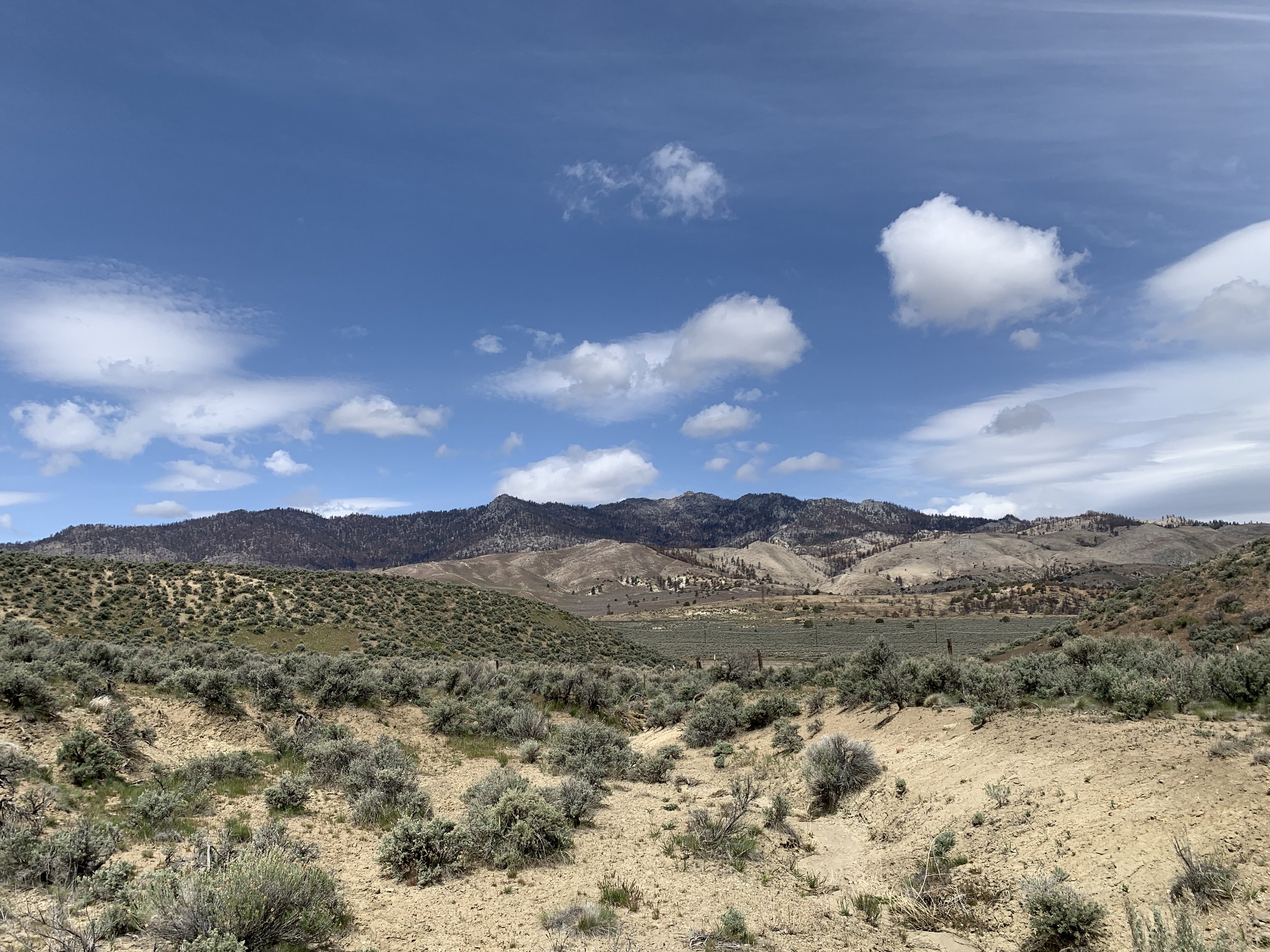
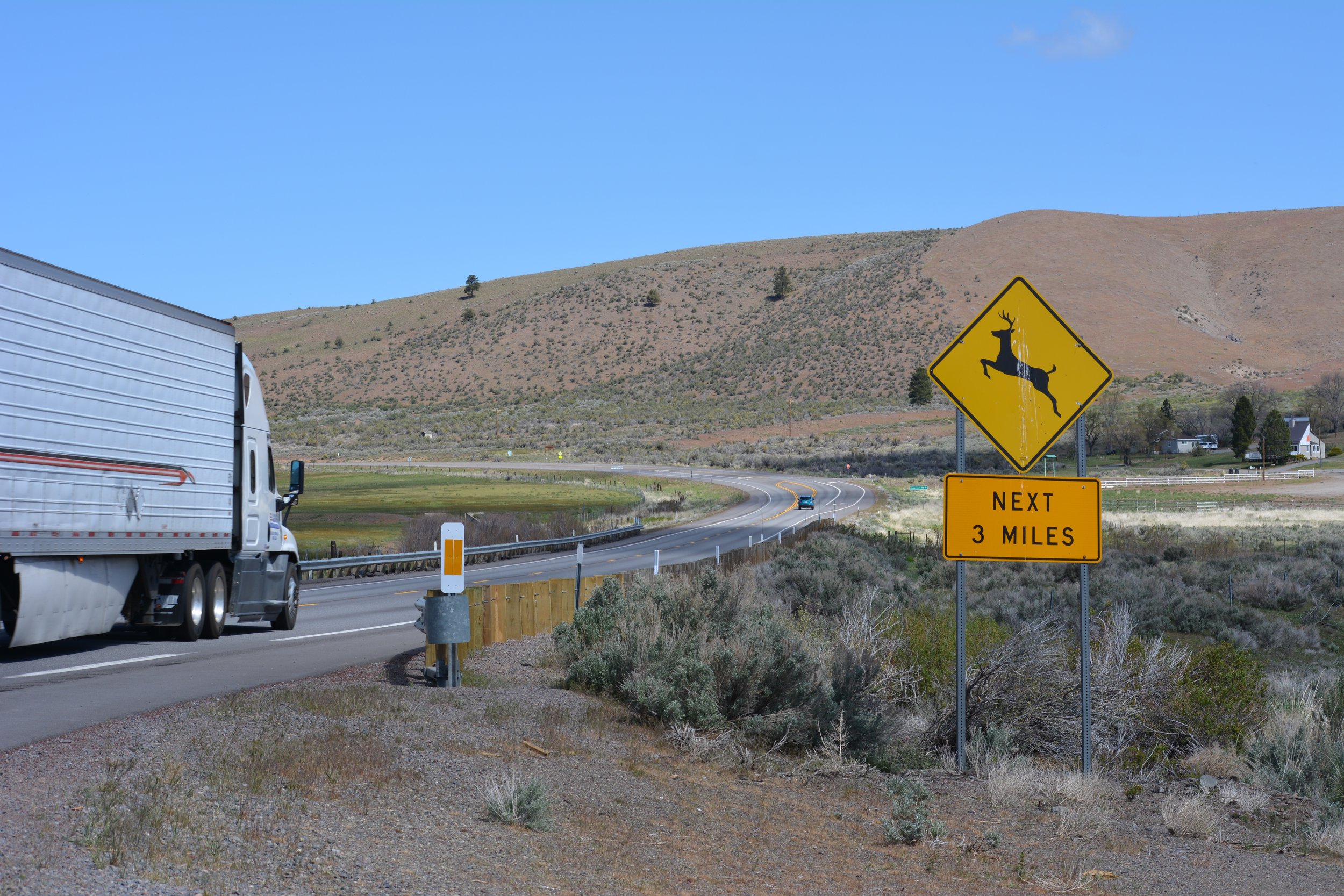
Highways 395 and 50 in California and Nevada
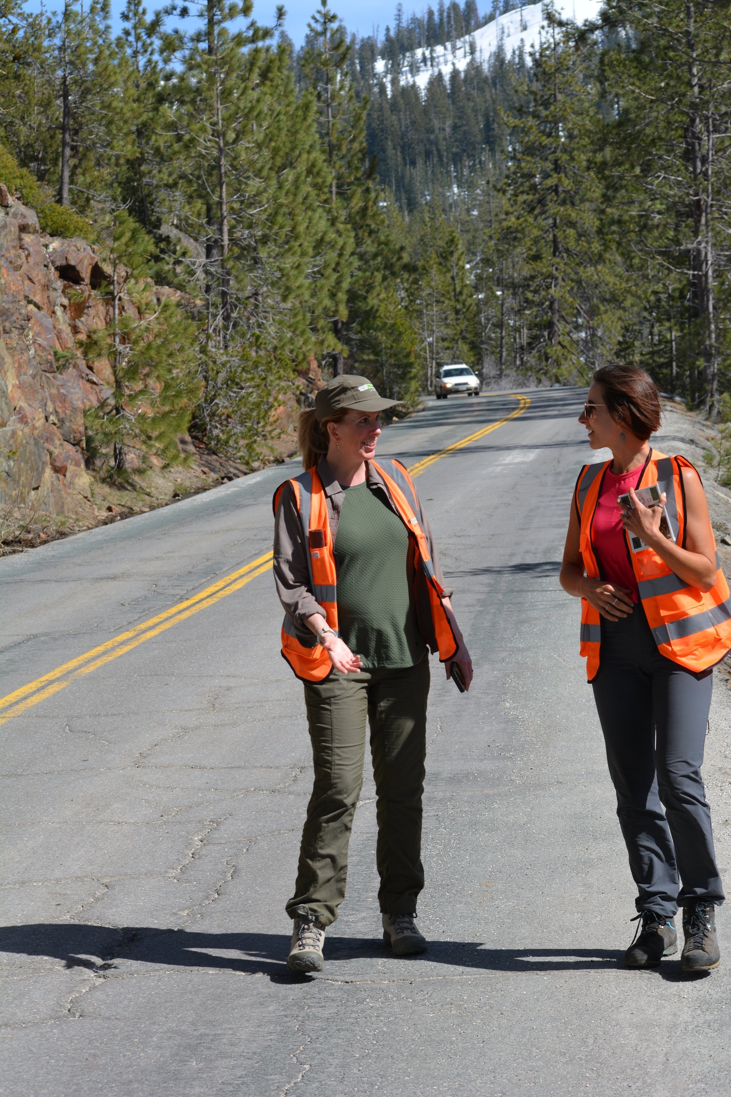
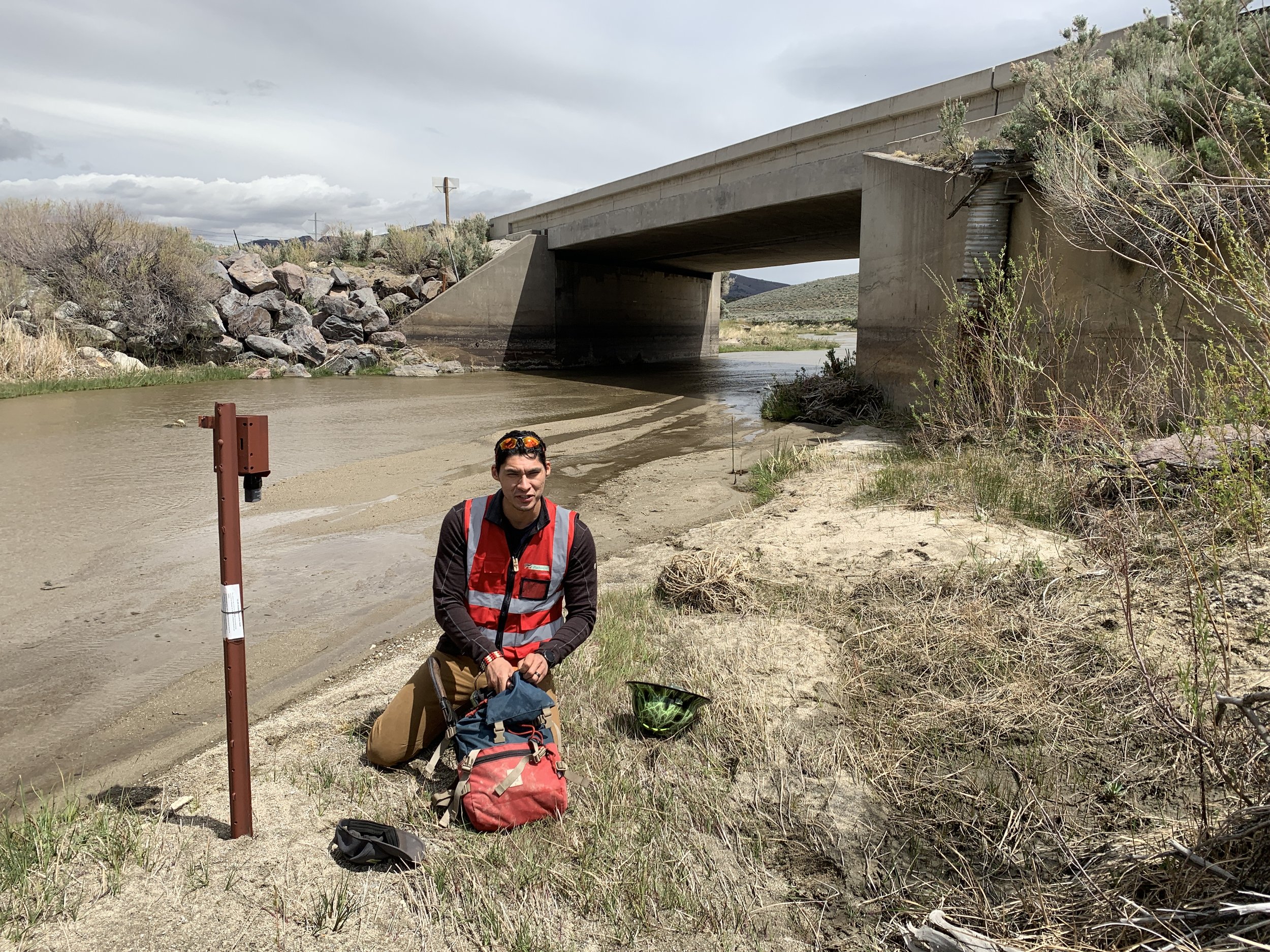
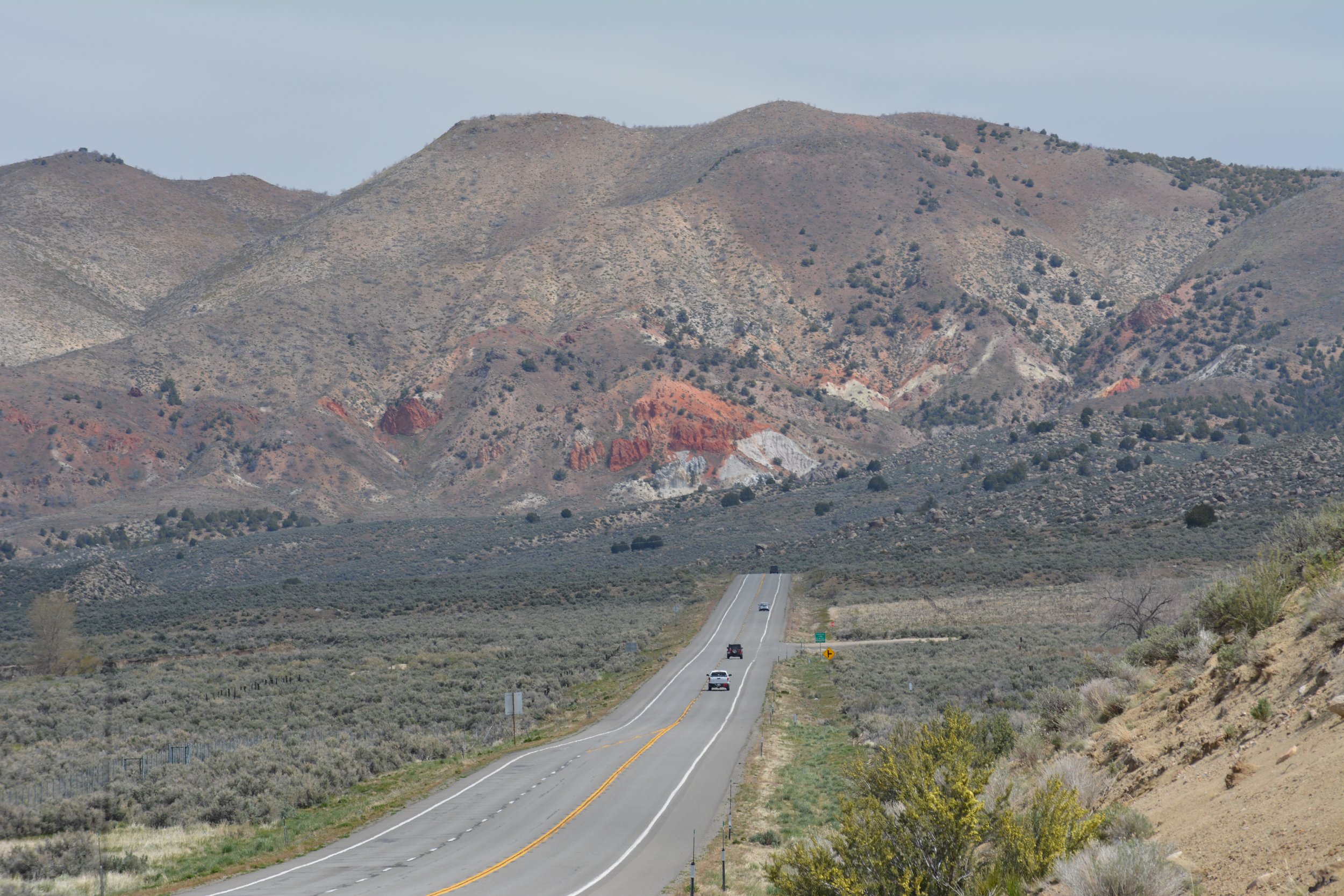
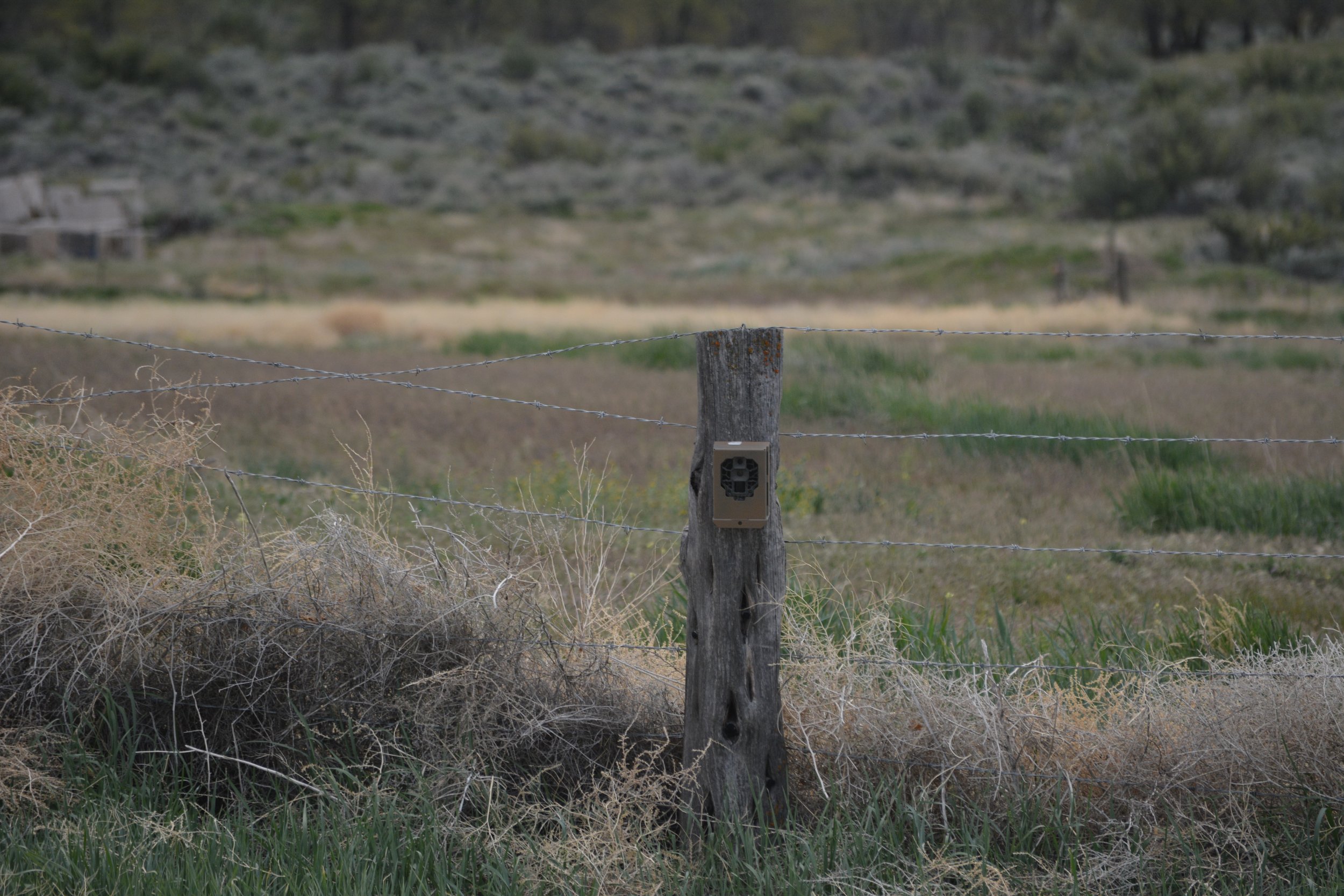
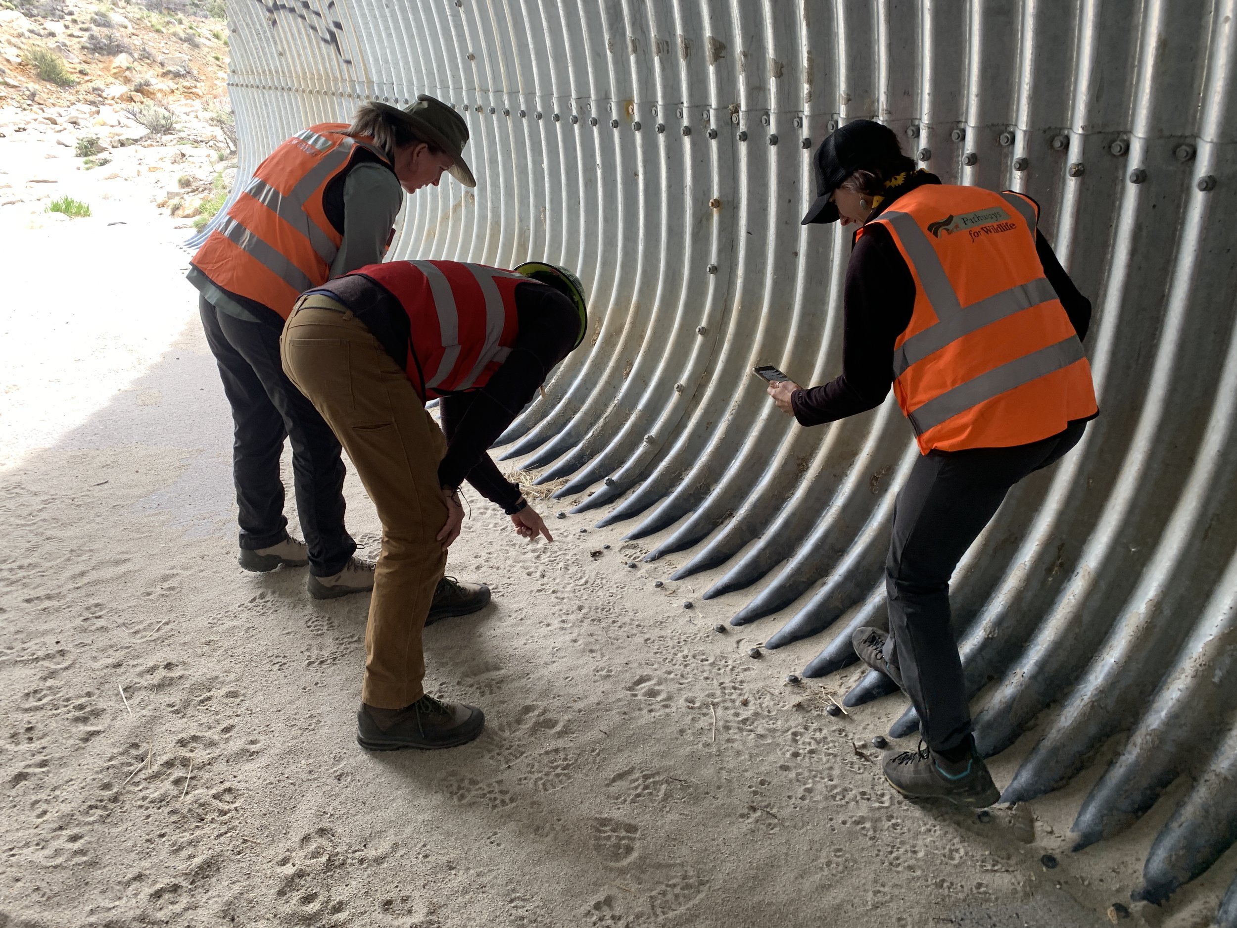
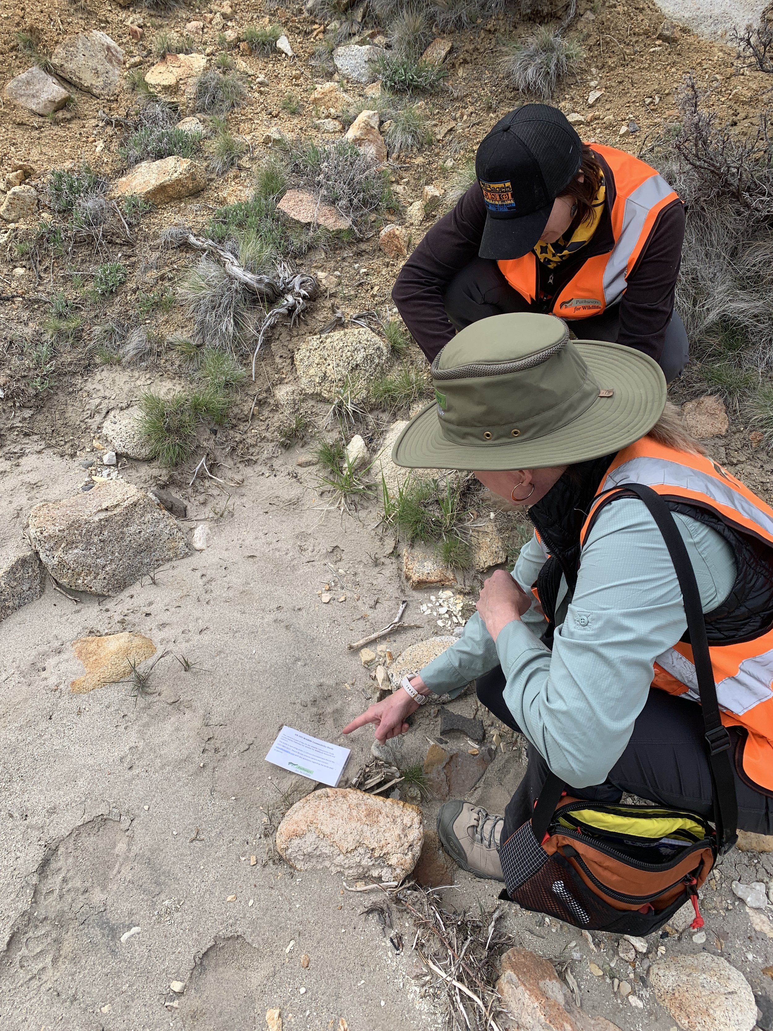
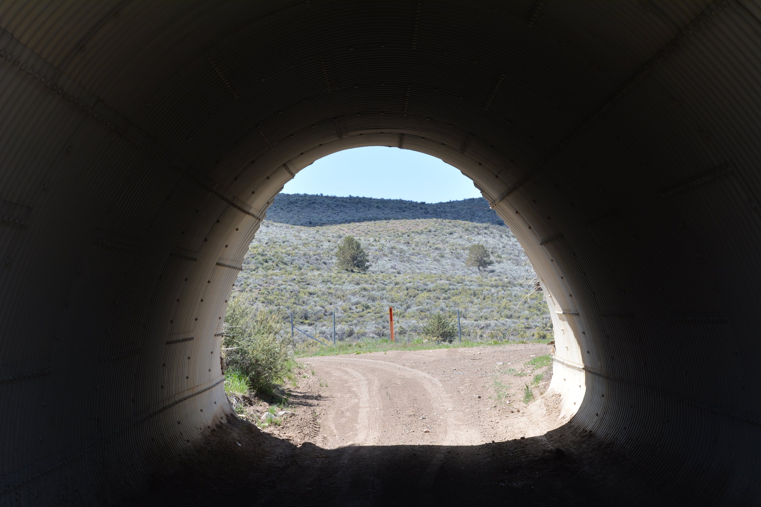
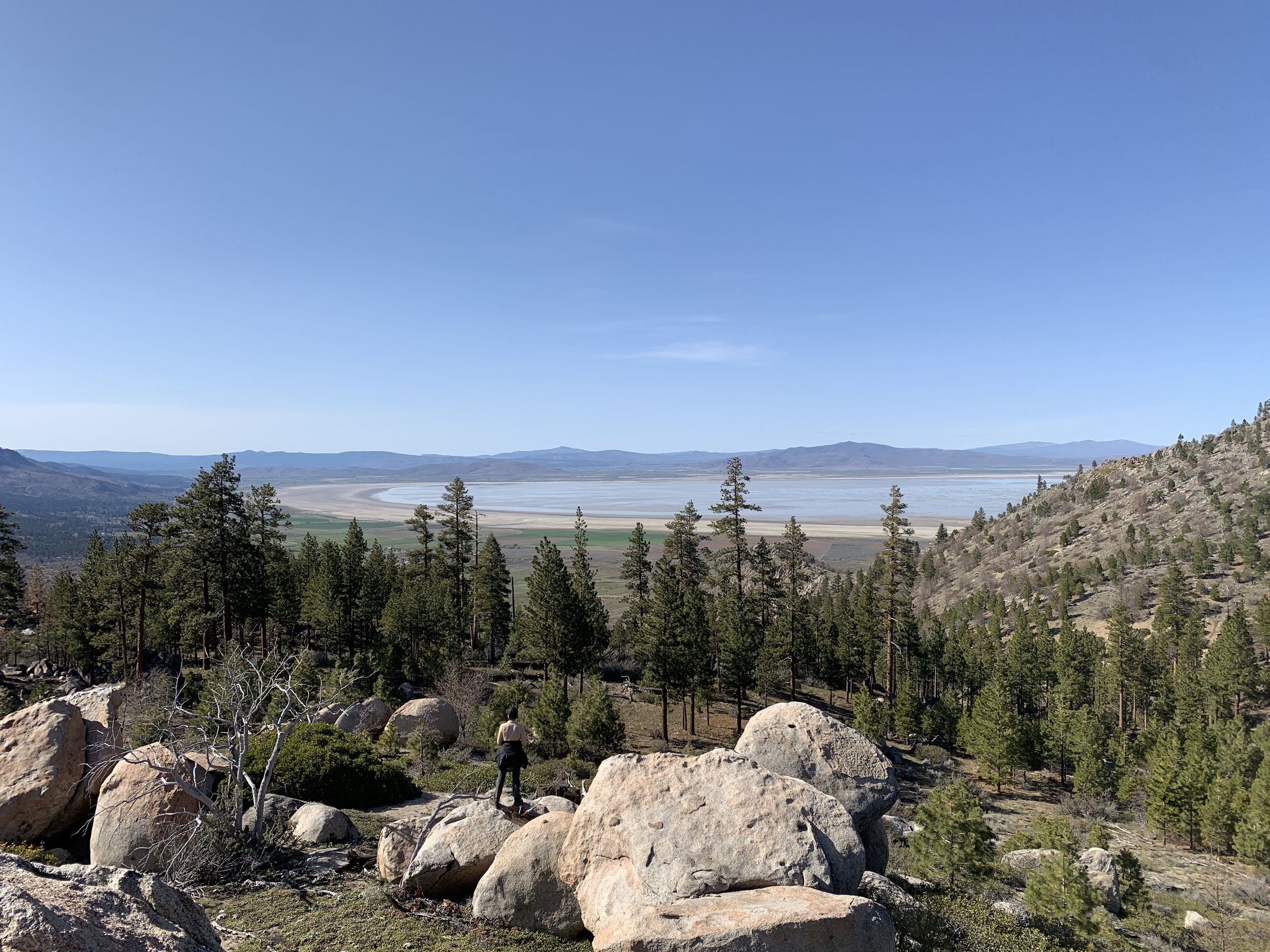
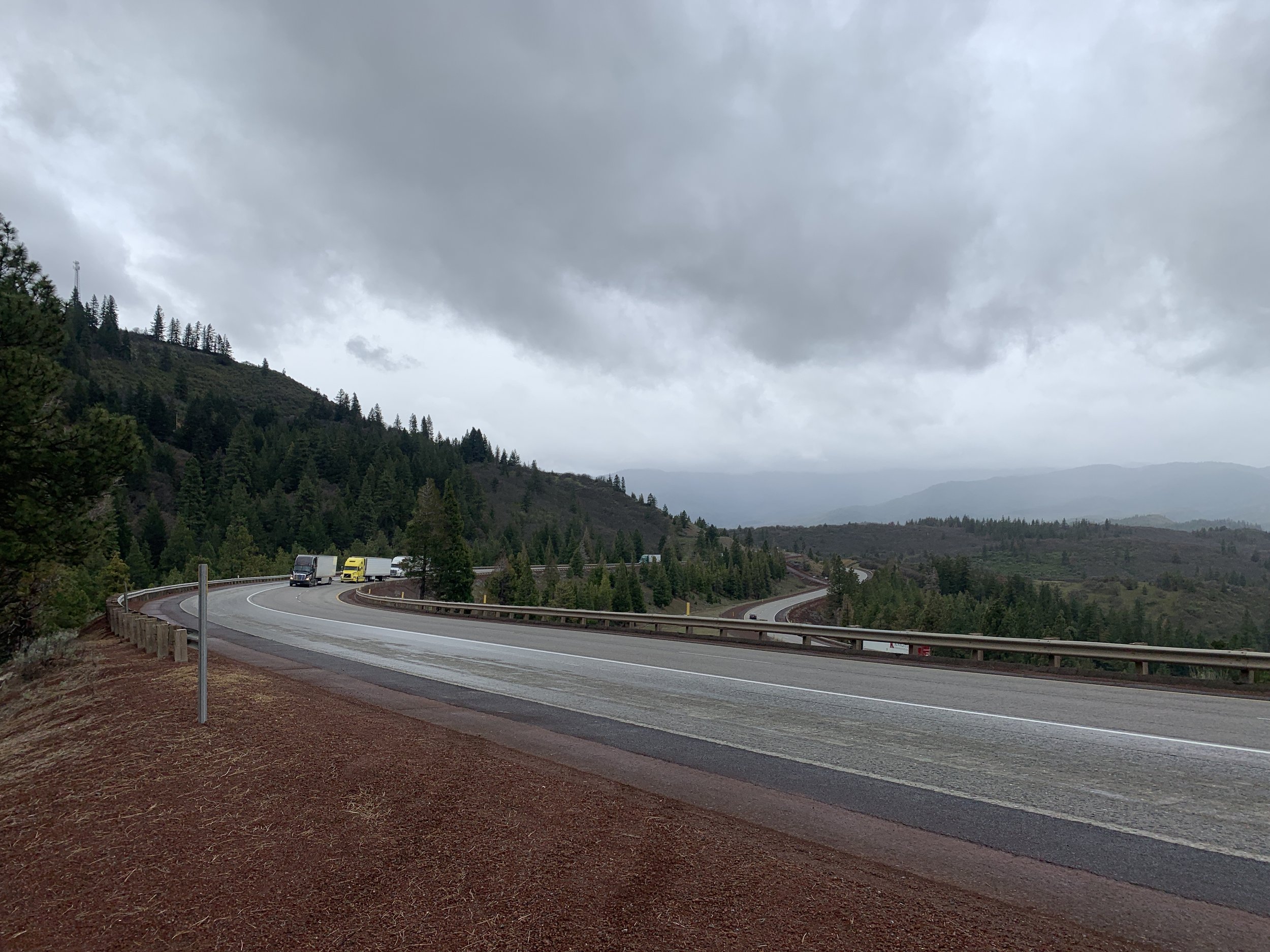
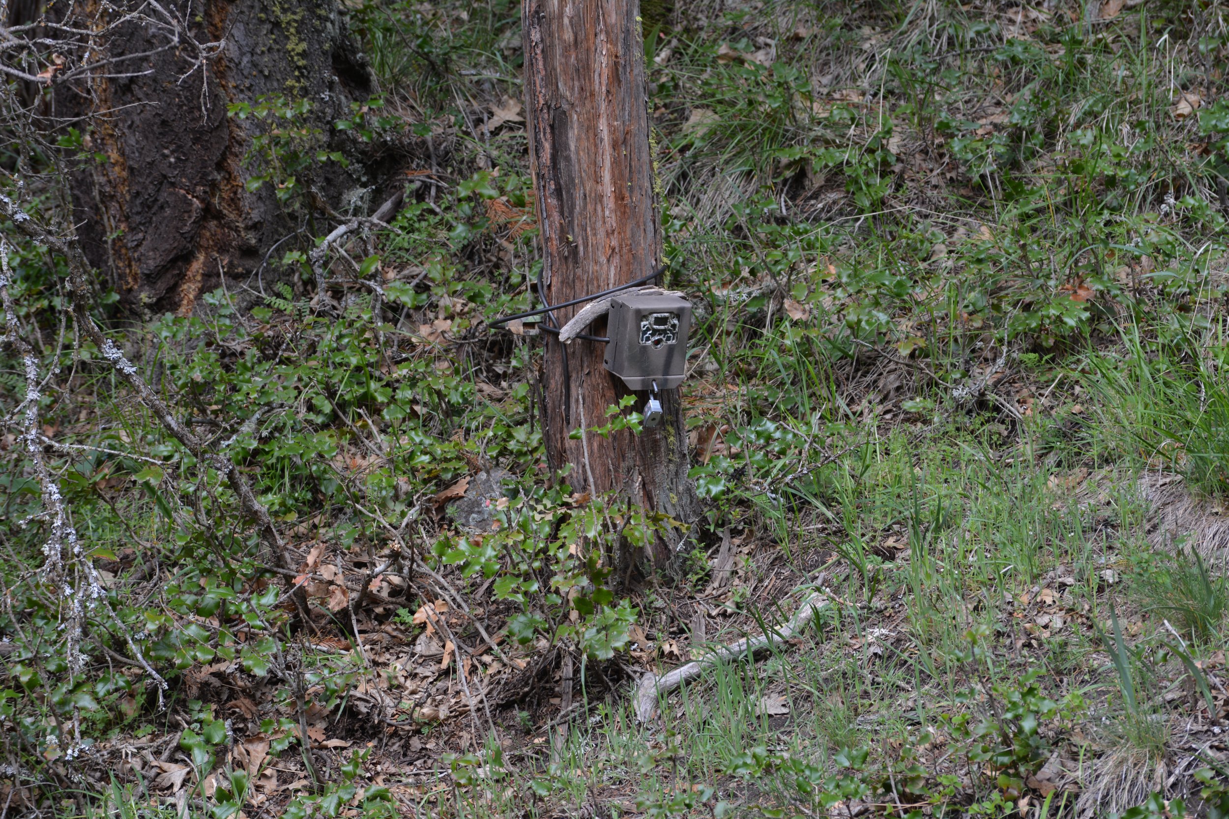
From I-80, we went on to check camera traps on Highway 395, which runs north to south along the California-Nevada border. These cameras are part of Wildlands Network's ongoing study of Highway 395, which Pathways for Wildlife is conducting. Ron and I then drove north of our study area to check out a stretch of highway that has been identified as a wildlife-vehicle hotspot and is considered a priority barrier to movement by the California Department of Fish and Wildlife. We found a culvert where we counted fifteen deer carcasses and saw landscape features that could lend themselves well to a wildlife overpass. After sharing our observations with Caltrans, District biologists deployed cameras along the Highway 395 to capture additional data to the north of Wildlands Network's study area.
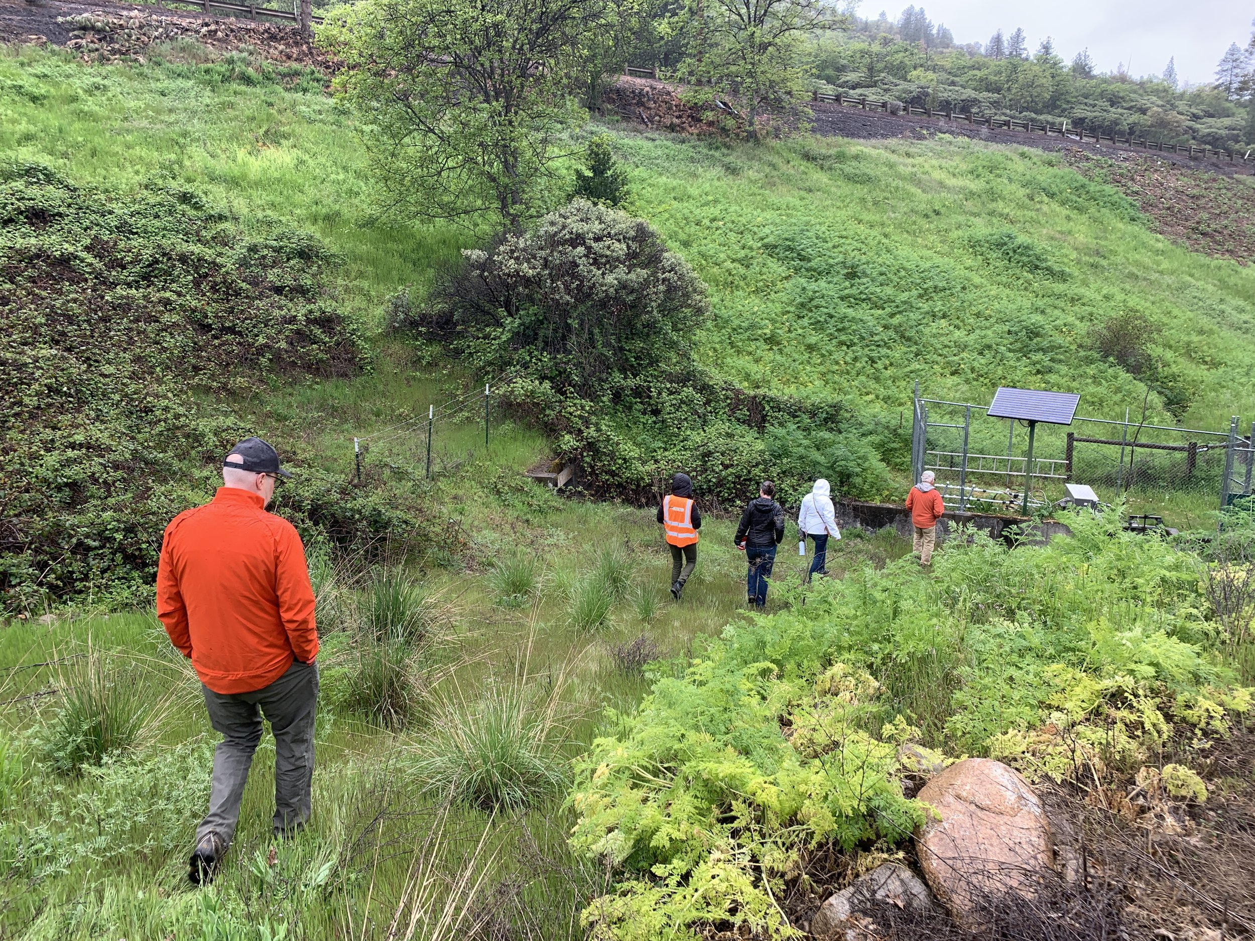
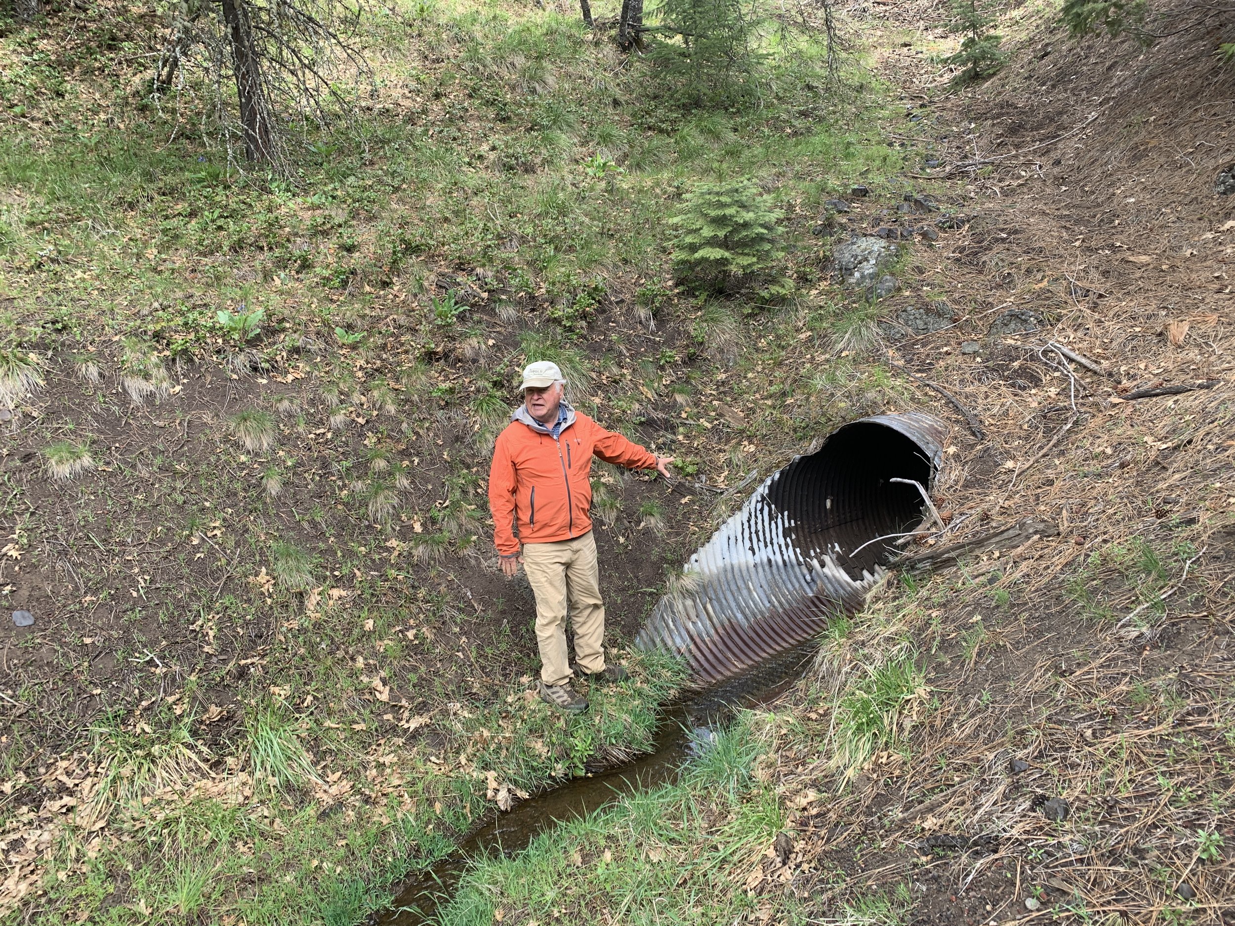
From Highway 395 we drove on to Highway 50 where we investigated more of Caltrans’ wildlife underpasses.
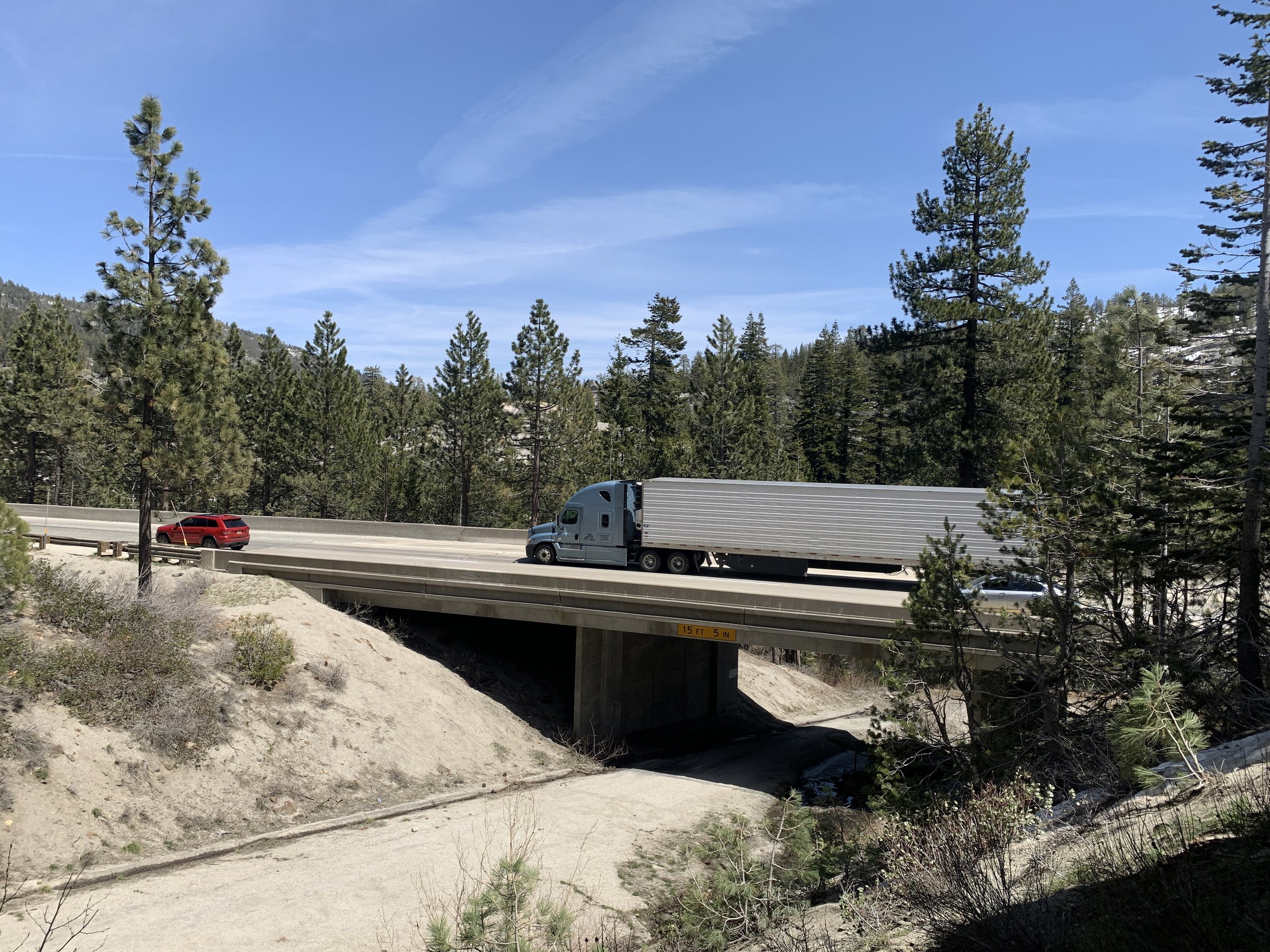
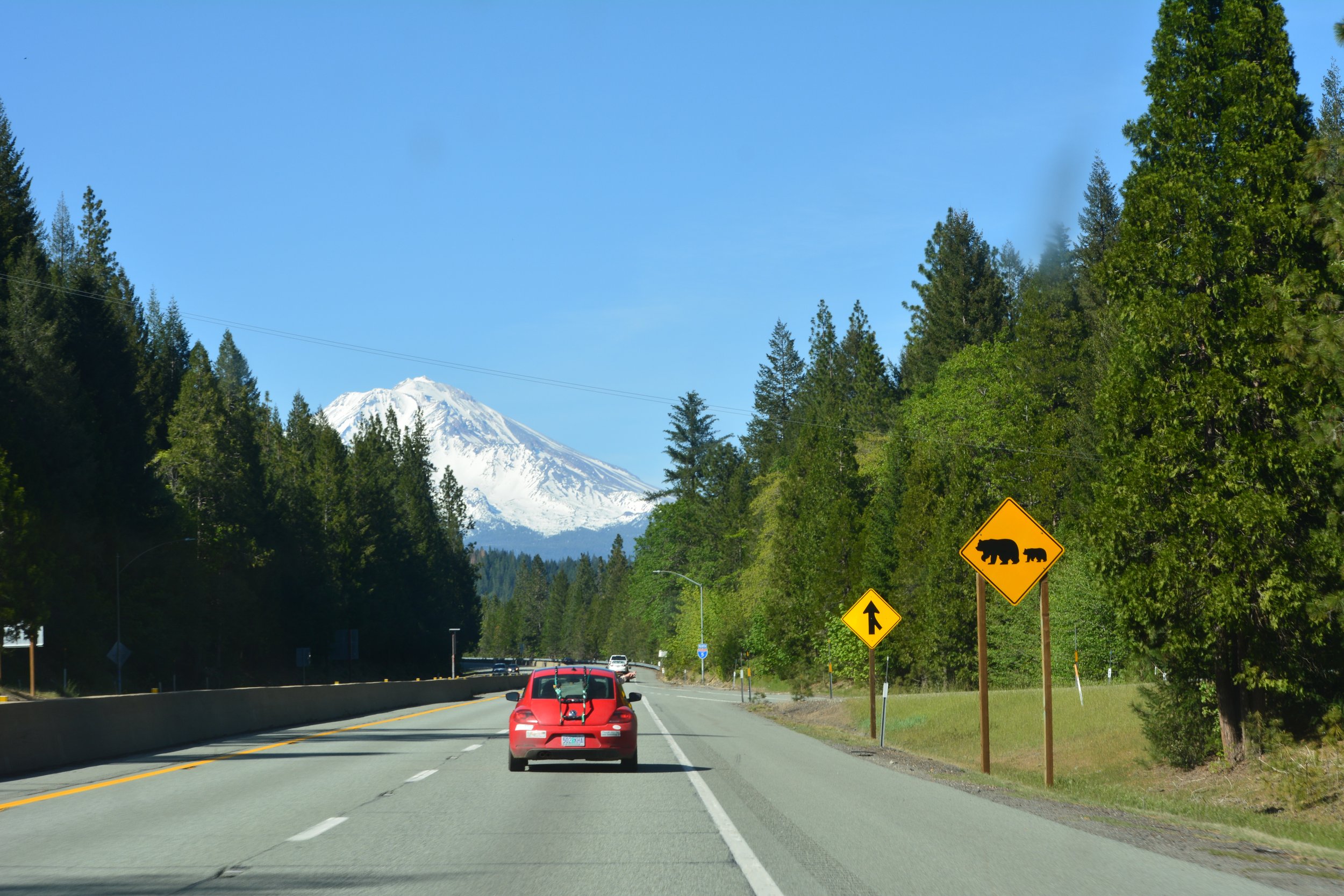
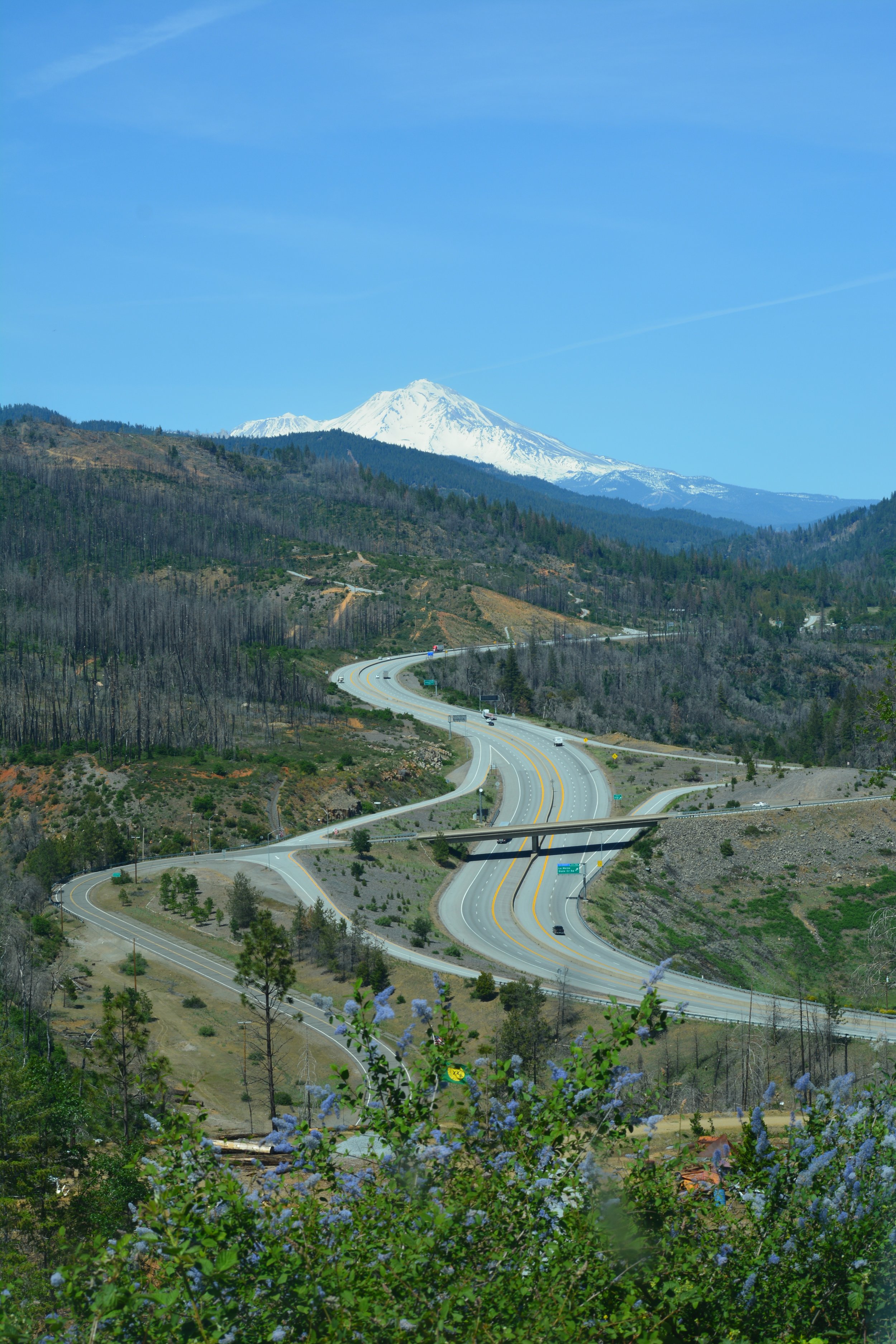
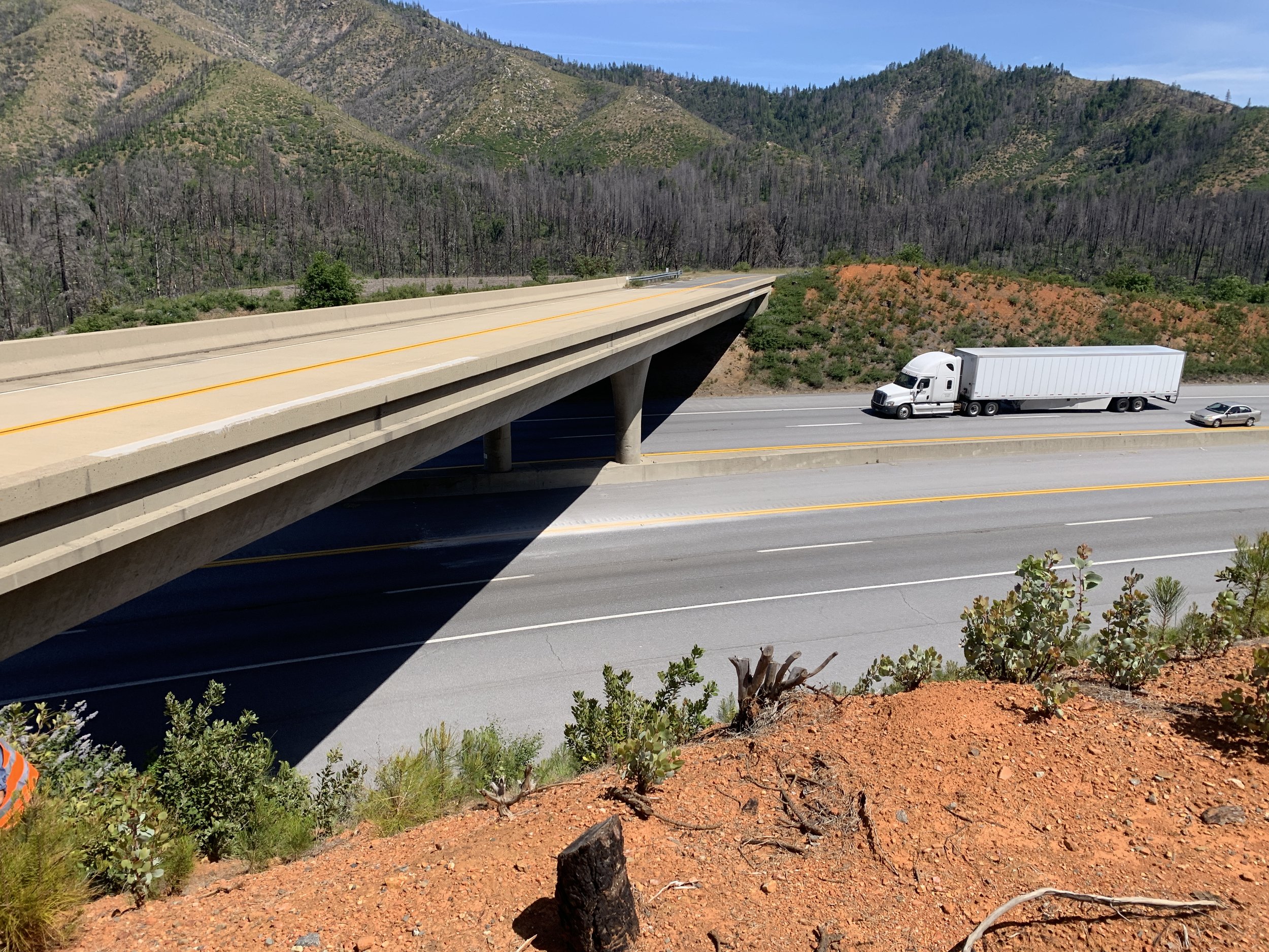
Interstate 5 in Northern California and Oregon
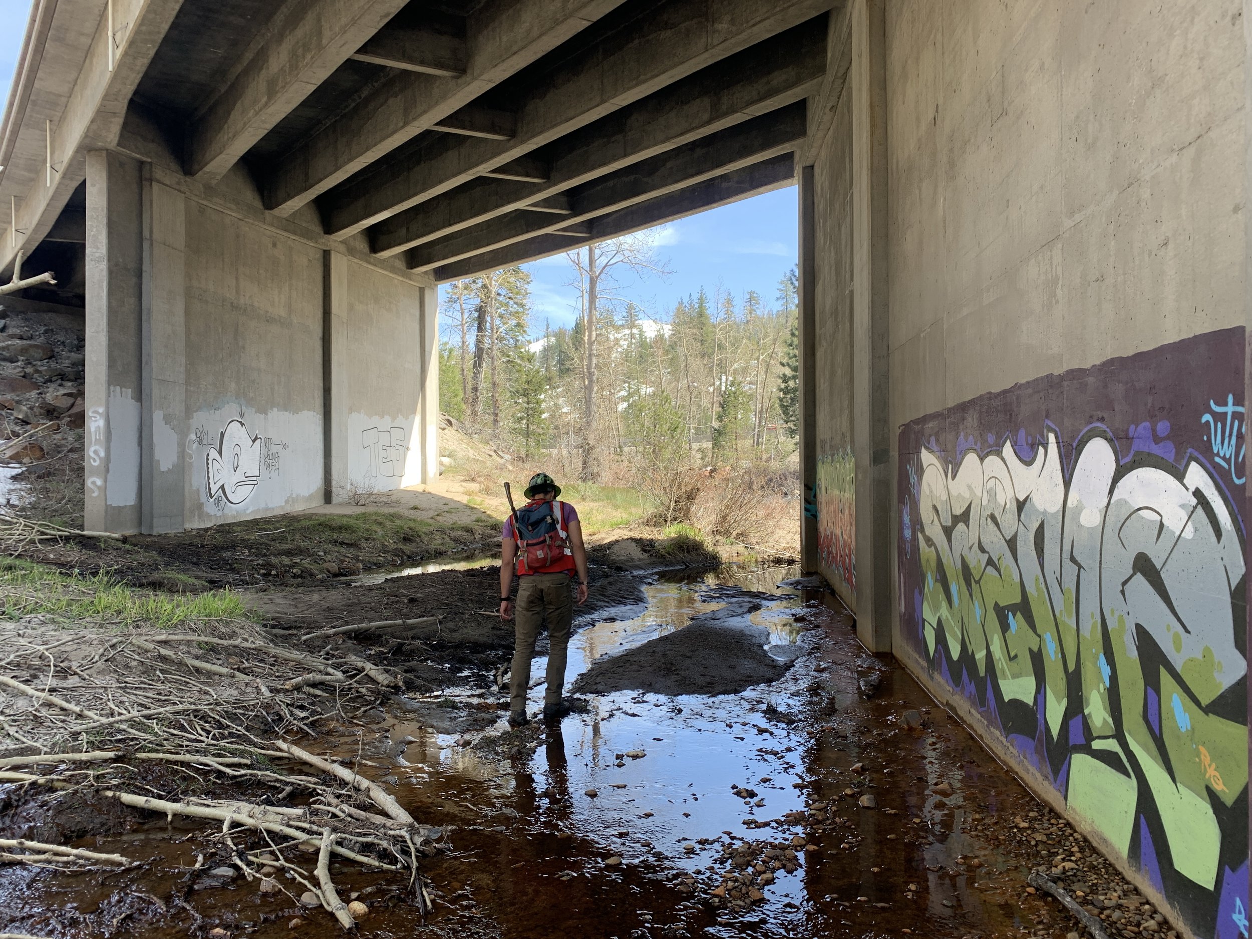
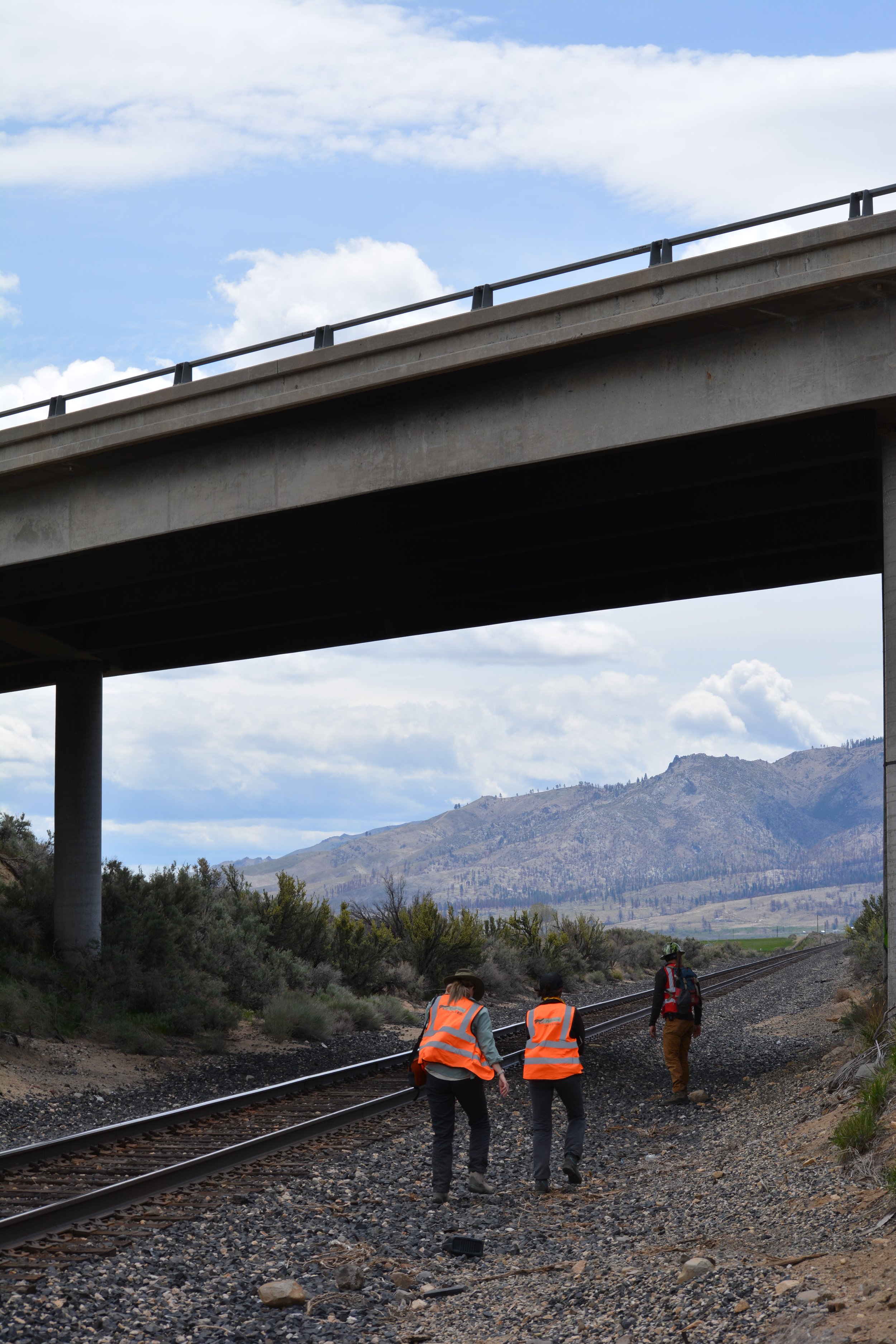
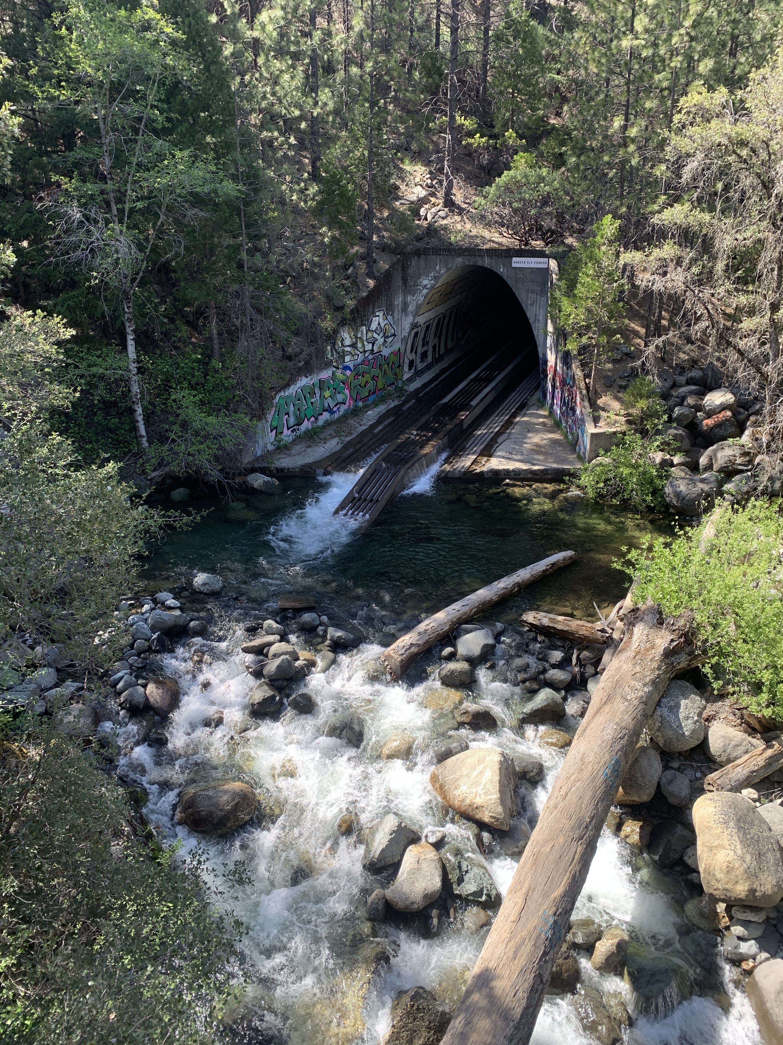
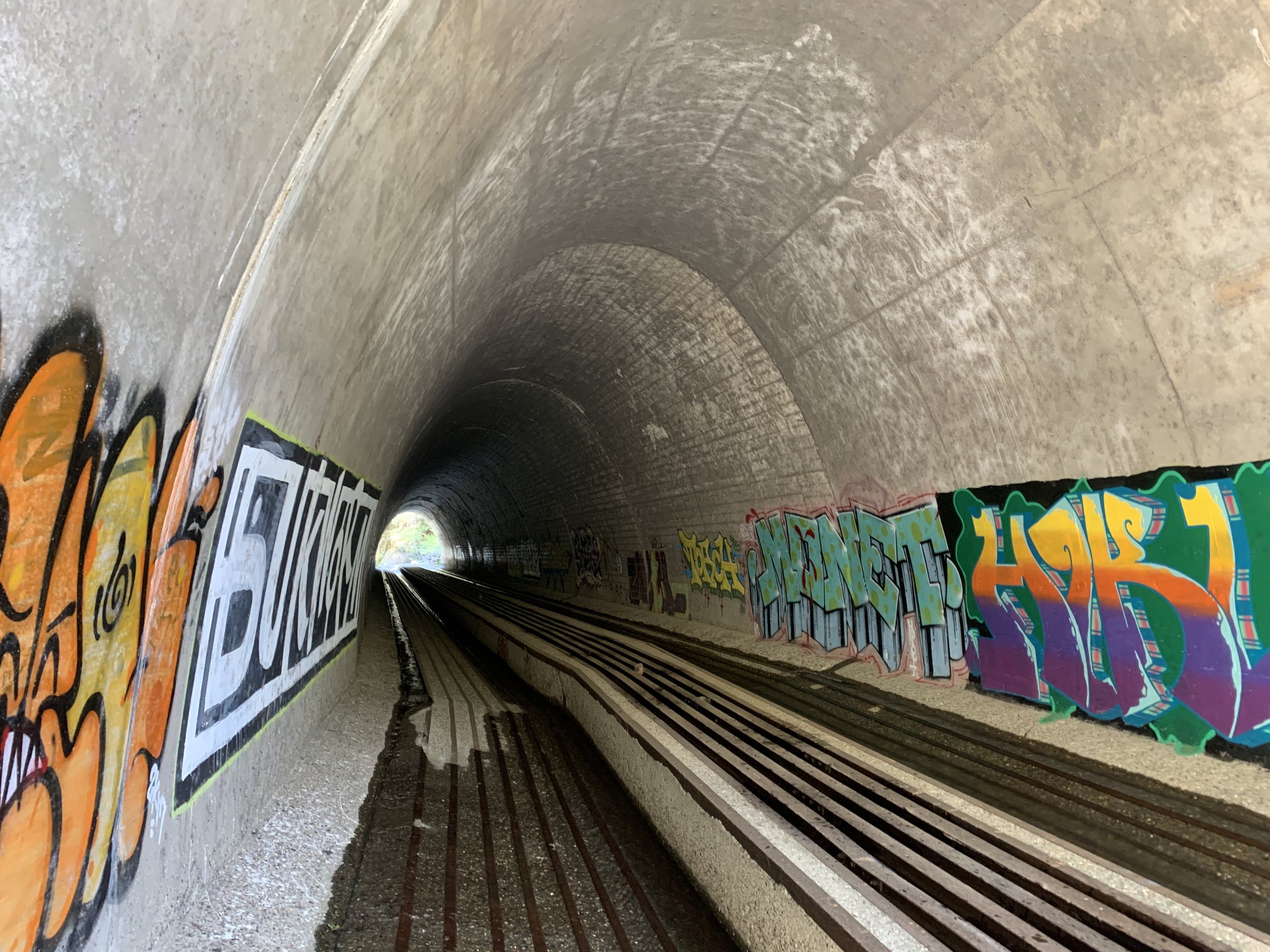
Ron and I then headed north along Interstate 5. We met partners from Mount Shasta Bioregional Ecology Center and the U.S. Fish and Wildlife Service to check out existing structures between Redding and Castle Crags State Park that could benefit from added directional fencing.
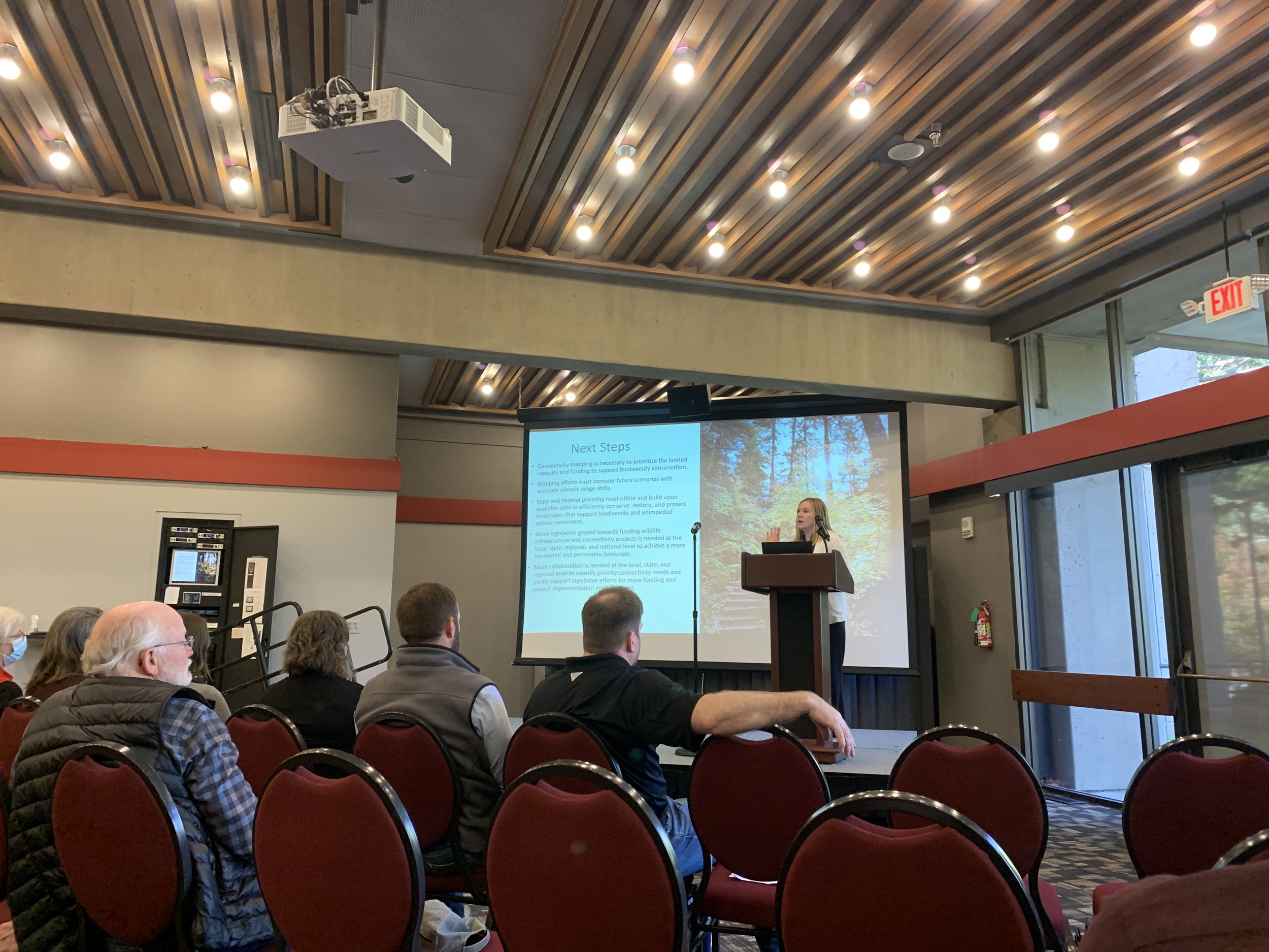
Further north in Ashland, Oregon we convened with other Wildlands Network Pacific-based staff for the Cascade-Siskiyou Connectivity Summit, which we helped organize. The Symposium was well attended and had partners from state and federal agencies, private firms, and others worked to brainstorm how to protect critical wildlife linkages in the Northern California and Southern Oregon Region.
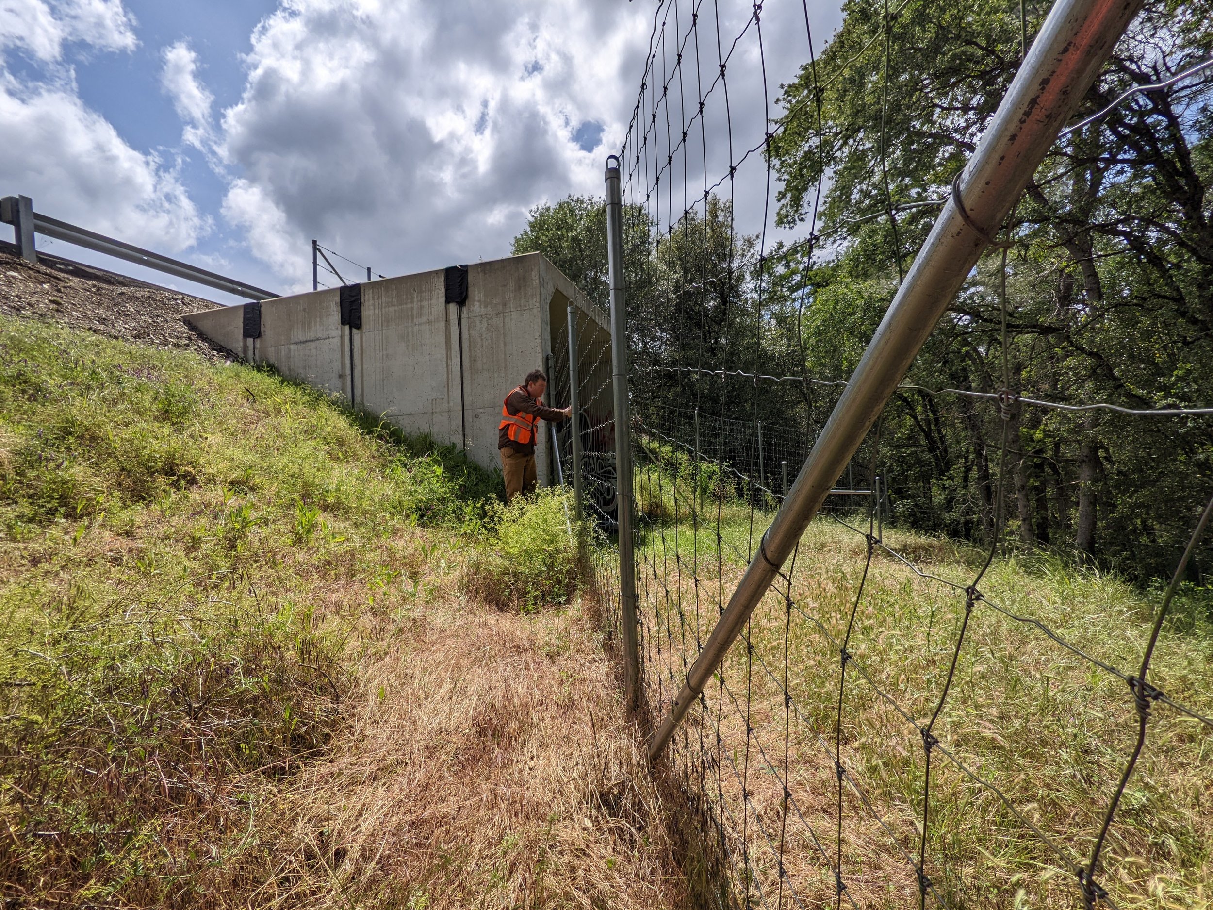
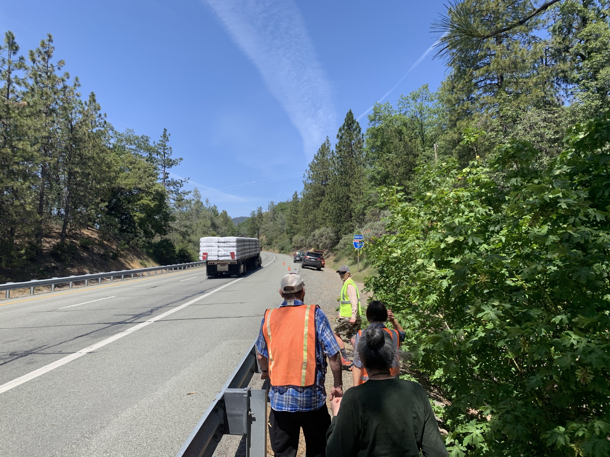
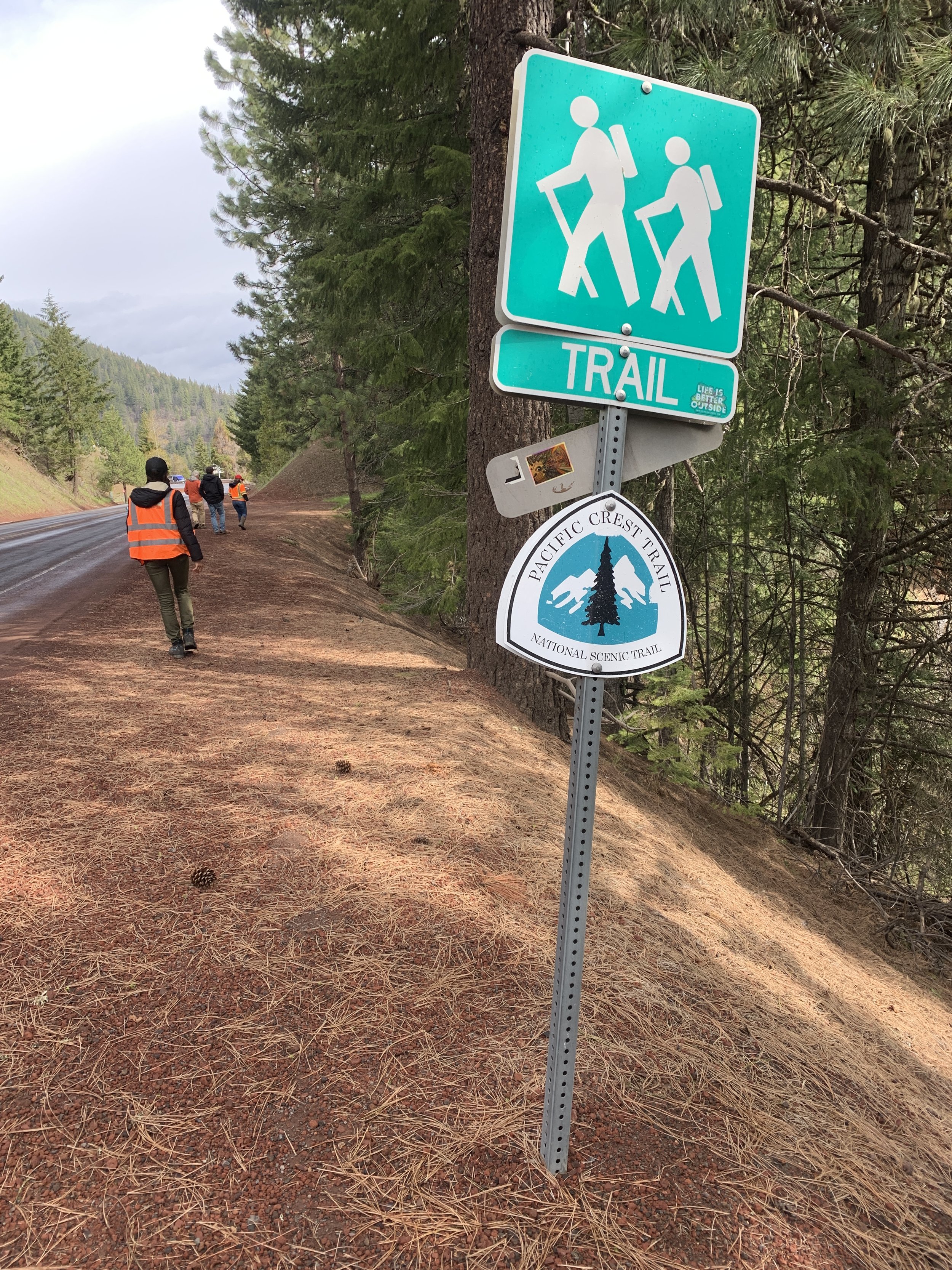
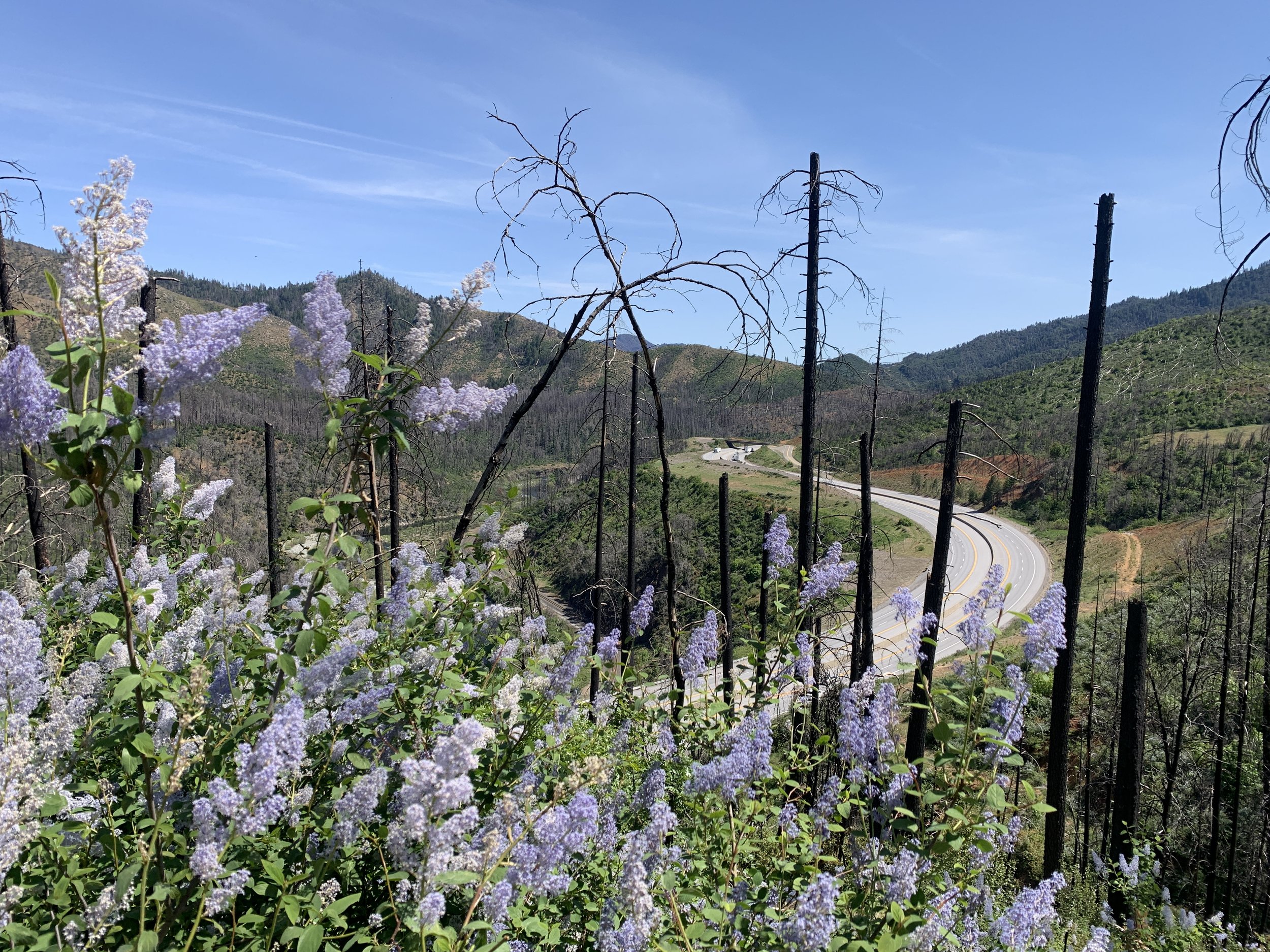
Then, on the final day of our trip, we joined with members of the Southern Oregon Crossing Coalition for a tour of the group’s ongoing efforts to install directional fencing, modify existing culverts and bridges, and construct wildlife overpasses on Interstate-5 between Ashland and the Oregon-California border.
This trip was informative for both Ron and me, especially seeing the opportunities to connect landscapes in northeast California firsthand. We look forward to continuing to work with our partners across the Pacific to keep movement pathways for wildlife connected!