Visualizing mitigation strategies to reduce wildlife-vehicle collisions—what does it even look like?
With research driven design, we can entice wildlife to use safe passages.
After three years of ongoing research, Wildlands Network, in partnership with the National Parks Conservation Association, proudly released “Research Results and Mitigation Strategies to Improve Wildlife Connectivity and Human Safety along Interstate-40 in the Pigeon River Gorge” in late June.

A wildlife overpass in Banff National Park, Canada, Adobe Stock
Together with NPCA and our local partners, we are supporting 20 detailed recommendations for mitigation strategies on a 28 mile stretch of I-40 (such as road crossing structures and wildlife fencing) that will reduce wildlife-vehicle collisions and increase wildlife habitat connectivity.
Many of us are familiar with iconic overpasses that stretch over busy highways, but sometimes it’s hard to visualize and understand other safe passage designs for wildlife that can be much more discrete. Often, travelers drive by these structures without realizing they exist.
During the early phases of Wildlands Network and NPCA’s research, the North Carolina Department of Transportation announced a plan to replace 5 bridges along I-40. This led to collaborating with NCDOT, recommending them to incorporate wildlife crossing enhancements with the new bridge designs. Construction is wrapping up on the first of the five, at Harmon Den.
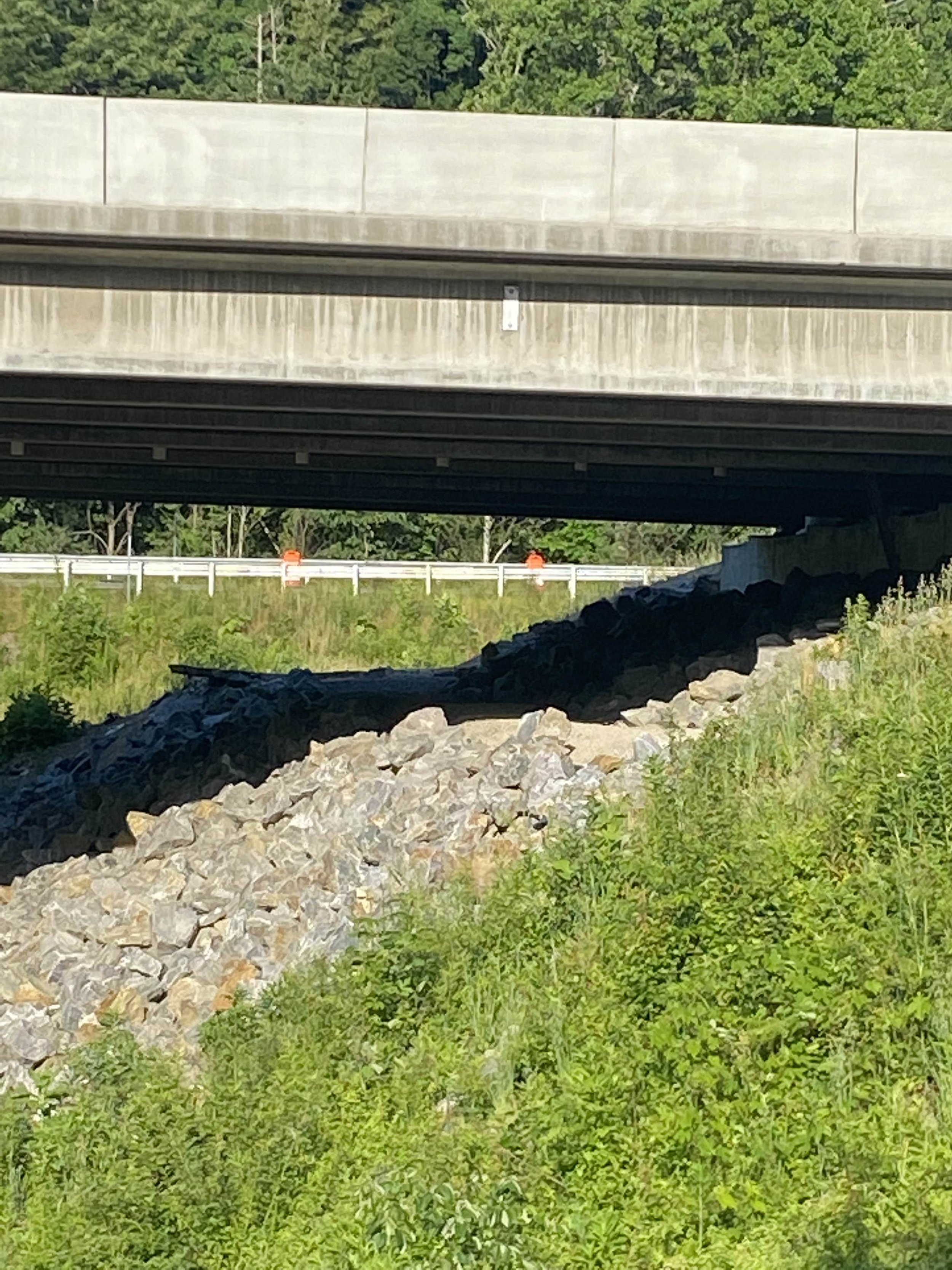
The new bridge design includes two paths — one on each side of Cold Springs Creek — to help wildlife move from one side of the interstate to the other under the roadway. The paths are graded and provide a flat surface cutting through the rocky slope, which is a better design for ungulates (animals with hooves—here in Western North Carolina that includes white tailed deer and elk) that would otherwise struggle to walk on the rocky slope, or use the dangerous roadway. A nine-foot tall fence will guide animals to the trails away from traffic and under the bridge.
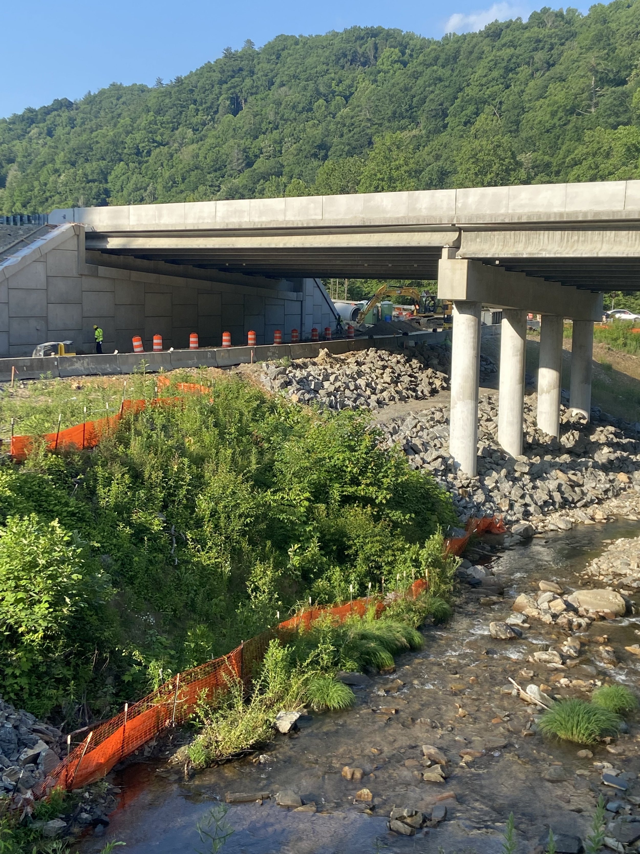
Underneath the new I-40 bridge at Cold Springs Creek Road.
Cattle guards were originally designed for keeping domesticated herds from escaping at places where the fence line breaks. Engineers adopted this method to incorporate on exit ramps to discourage ungulates from walking on them. The cattle guards installed at Harmon Den go one step further to protect wildlife by elevating the grate and leaving space underneath for small wildlife (reptiles, small mammals, etc.) to move.
In the unlikely event an animal finds itself on the wrong side of the fence on the interstate, jump outs are in place for an easy escape. The animal can jump down to the wildlife path under the bridge. This wall is 12 feet high, so animals cannot jump up onto the roadway, only down.

Priority crossing areas along I-40 identified by Wildlands Network and NPCA.
When designed correctly, these structures have been shown to reduce motorist collisions involving wildlife by up to 97%. A tally of records from collision reports, DOT maintenance staff in Tennessee and North Carolina, weekly driving surveys from researchers, and the N.C. Wildlife Resources Commission showed 162 large mammals were killed on I-40 between 2018 and 2022. Bear account for the largest share of the roadkill—in the last four years, at least 92 bear, 69 deer and one elk have died on this single stretch of highway. The figures likely represent an undercount. For more information, please visit the following link.
This is a timely issue for Western North Carolina as we experience a surge in human population, tourism, and development. We’re also facing a shifting landscape as climate change affects available resources and instigates more wildlife movement.
With our new report in hand, we will continue to advocate for the effective implementation of our recommendations on I-40. Stay tuned as North Carolina takes on a leadership role in transforming our transportation networks.