Navigating Human and Wildlife Activity in Lake Tahoe: A New Study
A bobcat enjoying the snow on mature forest debris in Washoe Meadow State Park. Credit: Pathways for WildlifeDwarfed by a crown of mountain peaks, 200 square miles of water, and dense forests of old pines, it can be easy to feel small in Lake Tahoe. Its clear water, easy access to nature on foot or bike, and 14 ski resorts have attracted travelers and residents for years. While one person may have a minimal impact, the Lake Tahoe Basin’s 15 million annual visitors and 50,000+ residents change things.
Humans aren’t the only ones attracted to this ancient lake. Almost 300 species of mammals, fish, and birds and thousands of plant species call this basin home. Black bears, bobcats, coyotes, porcupines, deer, beavers, squirrels, and many more contribute to its extensive network of wildlife, complex forest systems, and waterways.
Footage of a popular wildlife path approaching Pioneer Trail Road shared by a bear, coyote, and porcupine. Credit: Pathways for WildlifeAmong them is the pine marten – one of the wiliest members of the weasel family known for shapeshifting as it chameleons from carnivore to herbivore, sleek brown to snowy white, and ridiculously cute to extremely aggressive. The pine marten is a mesocarnivore, agile and quick enough to catch a squirrel in a tree but small enough to be a raptor’s meal.
As its name suggests, the pine marten relies on mature pine forests with dense coverage and abundant woody debris. These fallen logs provide a safe space from predators as well as foraging grounds for their prey. Downed trees also act as highways for the pine martens to move about the forests during the winter months when the landscape is blanketed by snow.
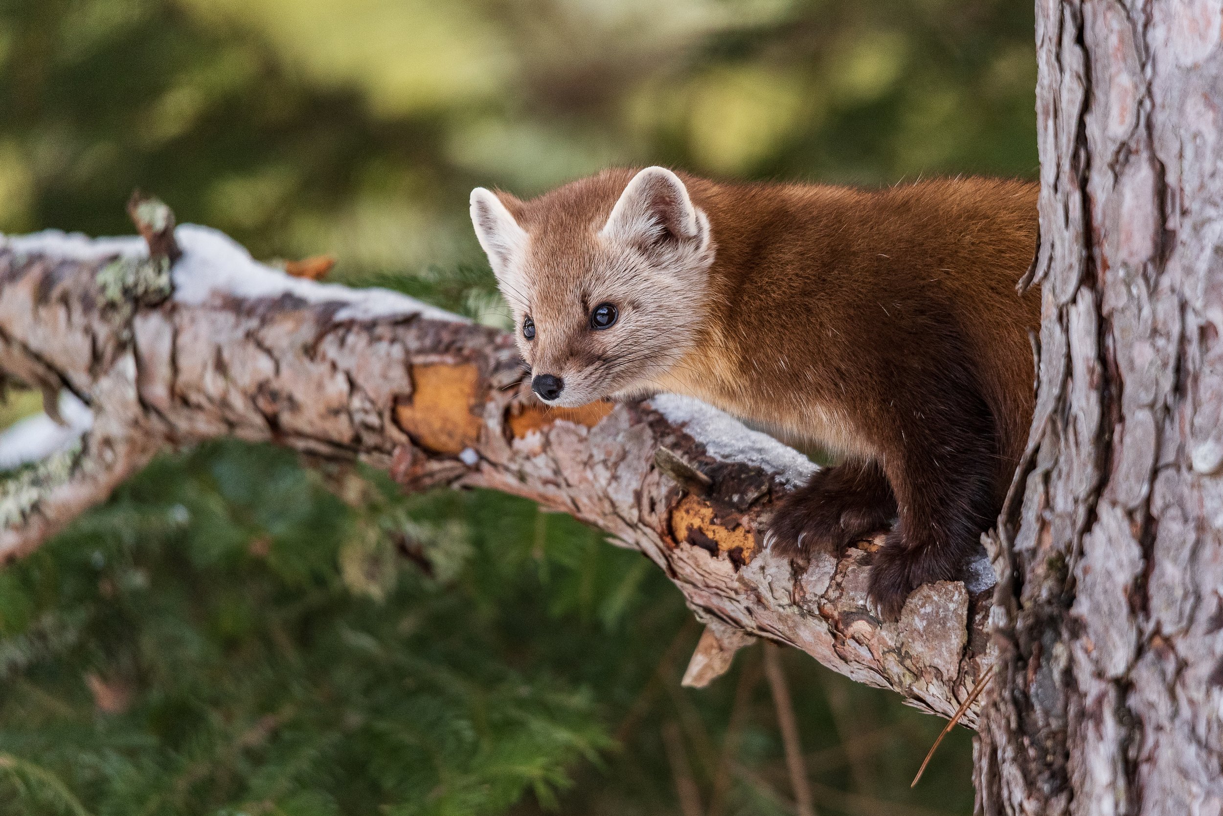
An American pine marten. Credit: CatherineAs seasons change year after year, so have the challenges facing pine marten and wildlife around the globe. The biggest one? Humans. Balancing a healthy ecosystem with a high level of human activity is a major challenge that is particularly prevalent in Tahoe.
More visitors to the Tahoe Basin means more vehicles and more roads. Roads run through the forests and completely encircle the lake, fragmenting important habitat and linkages and posing danger to both wildlife and humans. These roads act as both barriers to movement and a cause of wildlife mortality, which can severely impact an already at-risk population.
Additionally, forests are often cut down for human development and forest management practices, or they are thinned to reduce the severity of potential wildfire. Unfortunately, these actions are often taken with little to no regard for how they might impact wildlife and habitat connectivity throughout the landscape. As a result, pine martens are designated as a species of special concern in California and a sensitive species by the U.S. Forest Service due to their high reliance on mature forest ecosystems. They’re increasingly rare within the Tahoe Basin.
A black bear and her two cubs crossing Pioneer Trail Road. Credit: Pathways for WildlifeIn order to protect species that rely on mature forests and all wildlife that move around the Lake Tahoe Basin, we need more information. What are the population numbers of species that live in the basin? How are they responding to forest management techniques and human development? Where are their primary habitat cores and linkages connecting them? How are wildlife navigating the built environment and where are there roadkill hotspots?
There is no baseline data to answer these questions.
To find out, Wildlands Network and Pathways for Wildlife teamed up to collect this data and provide habitat connectivity analysis. With a $500,000 grant from the California Tahoe Conservancy, we are studying wildlife movement throughout the Lake Tahoe Basin to inform management strategies (increasing wildlife permeability) and protect functional habitat linkages. The study will identify where bottlenecks or barriers to movement may exist to provide management recommendations to land managers, transportation agencies, and community organizations.
“With Wildlands Network’s expertise in wildlife connectivity research and our talented partner Pathway for Wildlife’s expert camera trapping and modeling techniques, our team can conduct an extensive study,” notes Damon Yeh, California Project Manager. “Both of our organizations, as well as the Tahoe Conservancy, have extensive networks of partners in the area, and we are actively collaborating with a wide range of stakeholders to ensure that this study can have the greatest impact,” he added.
We will collect and assess data in three phases (South, West, and North) over five years by:
1) Compiling existing GIS data to create cost-surface models for a suite of focal species and use these models to do additional linkage analysis to predict wildlife movement.
2) Conducting transect and camera surveys throughout the landscape utilizing a randomized grid system that represents a wide range of habitats and connectivity values.
3) Identifying and monitoring, via camera stations, all potential wildlife road crossings, such as bridges, culverts, and at-grade crossings.
4) Conducting regular roadkill surveys.

Our study will utilize a suite of focal species as habitat indicators for our modeling, including pine martens, but incorporate all wildlife in our camera and tracking surveys. Our multi-layered approach will give us the unique opportunity to both model connectivity networks and validate our models with two years of on-the-ground data from each site.
“With this data, forest management agencies could incorporate wildlife needs into forest management practices (including thinning strategies) and transportation agencies could have the information they need to incorporate wildlife crossing infrastructure to reduce wildlife-vehicle collisions. We have already begun sharing our data with the Tahoe Regional Planning Agency and are discussing ways we can incorporate wildlife safety into their road safety initiative,” said Damon.
This is part of the larger Wildlands Network effort to enhance wildlife connectivity throughout the northern Sierra Nevada, where we are also involved in a wildlife crossing project on Highway 395 in Lassen County.

As we understand the bigger picture in the northern Sierra, we can also support wildlife moving throughout the landscape. For example, a new wolf pack, the Yowlumni pack, was confirmed in 2023, which is 400 miles south of the other known packs in California. These wolves managed to cross I-80 and made their way all the way down the Sierra Nevada and it’s highly likely that they had to navigate through or around the Tahoe Basin on their journey.
Historically, wolves have always inhabited this landscape and the return of this apex predator signals a healthy and robust ecosystem. Wolves do not pose any threat to human safety, and we are continuing to collaborate with the California Department of Fish and Wildlife to share data and learn more about these special animals. Our study hopes to shed some light on how wildlife move through the basin, and inform how we can manage the landscape for both wolves and pine martens.
In five short months we have created multiple species mapping models and set up dozens of cameras around South Basin. For this phase of the study, we expect to put out over 100 cameras, making it one of the largest wildlife camera arrays in California. We have already begun gathering incredible wildlife footage and are starting to paint the picture of how wildlife are moving throughout the region. (Stay tuned for an update!)
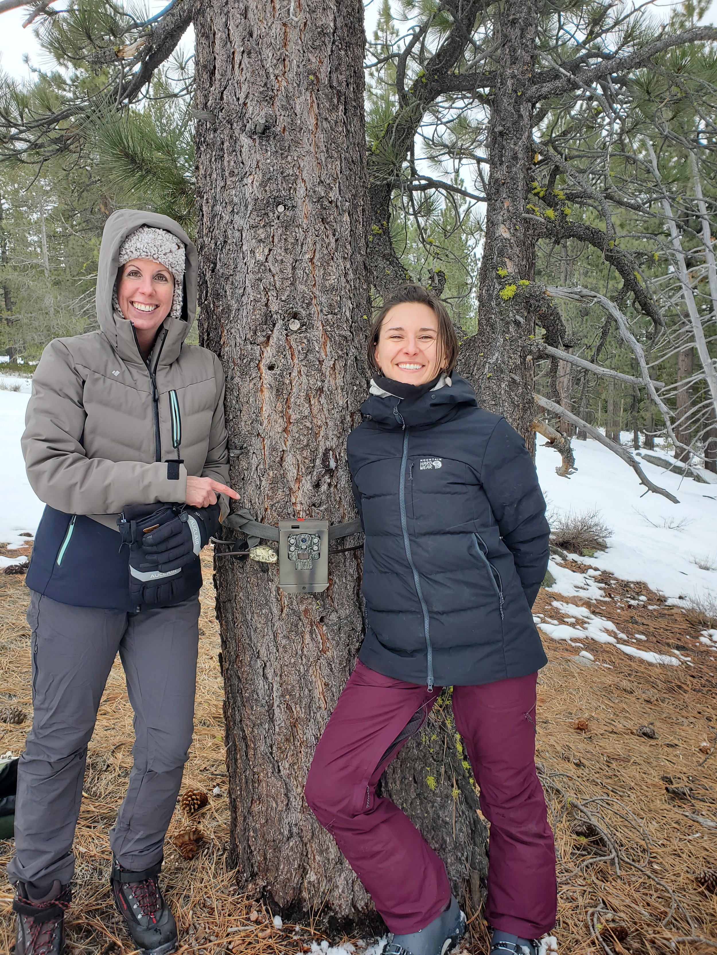
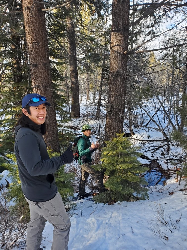
Damon Yeh and Mari Galloway from Wildlands Network with Tanya Diamond and Ahíga Sandoval from Pathways for Wildlife at a site visit in South Lake Tahoe. Credit: Ahíga Sandoval and Tanya Diamond, Pathways for WildlifeZooming out - this data and analysis could be applied to hundreds of similar habitats and human activity levels around North America, helping to create a landscape where wildlife and human populations can thrive together. This can also inform the implementation of 30x30 goals by establishing a network of habitats that strengthen ecosystems and improve climate resilience.
We're excited to bring our Pacific Wildway vision to life as we reconnect habitat and facilitate wildlife movement throughout the northern Sierra, California, and North America at large.
Project Funded by: Tahoe Conservancy
Cover image credit: Pathways for Wildlife